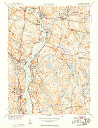
1952 Map of Uncasville
USGS Topo · Published 1952About this map
The Thames River serves as the central artery for this mid-century portrait of New London County, connecting industrial and academic outposts across its banks. Along the western shore, the settlements of Uncasville and Montville Station sit across from the rowing hubs of the Harvard Boathouse and Yale Boathouse, while the sprawling grounds of the Norwich State Hospital and Fort Shantok State Park dominate the northern bends. The map reveals a landscape defined by collegiate presence at Connecticut College, military installations at the U S Naval Reservation, and deep-rooted local history at sites like Cochegan Rock and The Ledyard Oak. Numerous small cemeteries and family-named landmarks such as Comstock Cemetery and Avery Hill are scattered among the ridges of Ledyard and Montville, while the New York New Haven and Hartford Railroad follows the shoreline, tying these riverfront communities together.
Find a feature on this map
100 named features on this map. Tap any name to fly to it.
Don’t see what you’re looking for? This feature index may not catch every label — zoom into the map to look around manually.
Map Details
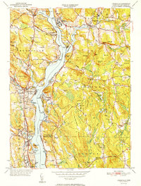
Editions of this 1952 Uncasville Map
2 editions found
Other maps of this area

1889 · Stonington
USGS Topo · 1:62,500

1889 · Moosup
USGS Topo · 1:62,500

1892 · New London
USGS Topo · 1:62,500

1892 · Norwich
USGS Topo · 1:62,500

1893 · Moosup
USGS Topo · 1:62,500

1893 · Stonington
USGS Topo · 1:62,500

1893 · New London
USGS Topo · 1:62,500

1920 · Moosup
USGS Topo · 1:62,500

1921 · New London
USGS Topo · 1:62,500

1921 · Stonington
USGS Topo · 1:62,500