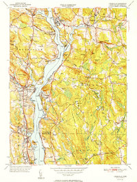
1952 Map of Uncasville
USGS Topo · Published 1952About this map
The Thames River serves as the central artery for this mid-century portrait of New London County, dividing the industrial and institutional landscapes of Montville and Waterford from the rolling heights of Ledyard. The riverfront is marked by a unique collegiate and maritime presence, featuring both the Yale Boathouse and Harvard Boathouse along the eastern shore, while Connecticut College anchors the southern boundary. This era shows a mix of massive public works and ancient history, where the sprawling grounds of the Norwich State Hospital sit just across from the Old Indian Fort and Fort Shantok State Park.
Find a feature on this map
105 named features on this map. Tap any name to fly to it.
Don’t see what you’re looking for? This feature index may not catch every label — zoom into the map to look around manually.
Map Details
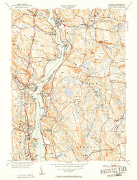
Editions of this 1952 Uncasville Map
2 editions found
Other maps of this area

1889 · Stonington
USGS Topo · 1:62,500

1889 · Moosup
USGS Topo · 1:62,500

1892 · New London
USGS Topo · 1:62,500

1892 · Norwich
USGS Topo · 1:62,500

1893 · Moosup
USGS Topo · 1:62,500

1893 · Stonington
USGS Topo · 1:62,500

1893 · New London
USGS Topo · 1:62,500

1920 · Moosup
USGS Topo · 1:62,500

1921 · New London
USGS Topo · 1:62,500

1921 · Stonington
USGS Topo · 1:62,500