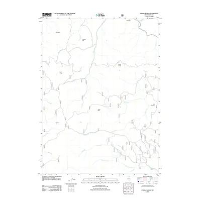
2012 Map of Ungina Wongo
USGS Topo · Published 2012About this map
Ungina Wongo and surrounding high-altitude terrain in Elko County define this remote Nevada landscape. The 2012 survey illustrates a network of seasonal watercourses and drainage basins, including the headwaters of the Owyhee River and the meandering Van Duzer Creek. Named landmarks like Fly Head and Bald Mountain rise above the basin floor, where small settlements such as Gondem Bah and Wonga Douya are established along the foothills.
Find a feature on this map
28 named features on this map. Tap any name to fly to it.
Don’t see what you’re looking for? This feature index may not catch every label — zoom into the map to look around manually.
Map Details
Editions of this 2012 Ungina Wongo Map
This is the sole edition of this map. No revisions or reprints were ever made.
Other maps of this area

1936 · Mountain City
USGS Topo · 1:62,500

1939 · Owyhee
USGS Topo · 1:62,500

1940 · Mountain City
USGS Topo · 1:62,500

1942 · Owyhee
USGS Topo · 1:62,500

1955 · McDermitt
USGS Topo · 1:250,000

1955 · Wells
USGS Topo · 1:250,000

1956 · Bull Run
USGS Topo · 1:62,500

1956 · Wild Horse
USGS Topo · 1:62,500

1958 · Wells
USGS Topo · 1:250,000

1959 · McDermitt
USGS Topo · 1:250,000