2020 Map of Unimak A-3 NE
USGS Topo · Published 2020About this map
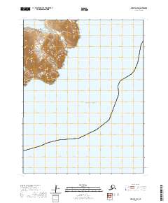
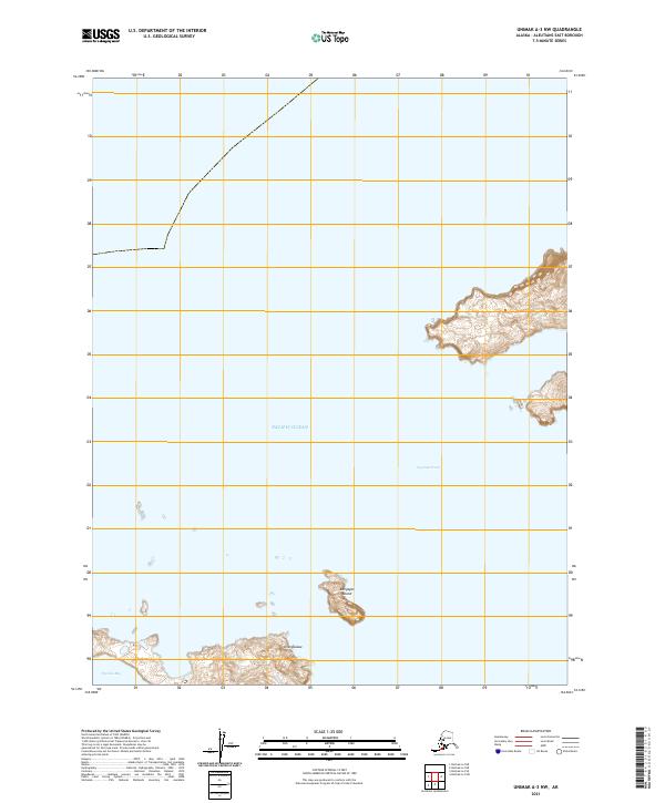
Ugamak Island dominates the northern reaches of this maritime survey, rising from the Pacific Ocean with steep contours that define its isolated coastline. The map records a cluster of smaller landmasses within the Aleutian chain, including Round Island and the western tip of Aiktak Island. Between these features lies Ugamak Bay, a sheltered stretch of water that provides a rare break in the exposed sea. The landscape here is characterized by its total absence of human infrastructure, focusing instead on the precise topography of the volcanic islands and the depths of the surrounding waters. This data, compiled from the National Hydrography Dataset and National Elevation Dataset, illustrates the land-sea interface at a high level of detail for this secluded portion of the East Aleutian borough.
Find a feature on this map
6 named features on this map. Tap any name to fly to it.
Don’t see what you’re looking for? This feature index may not catch every label — zoom into the map to look around manually.
Map Details
Editions of this 2020 Unimak A-3 NE Map
This is the sole edition of this map. No revisions or reprints were ever made.