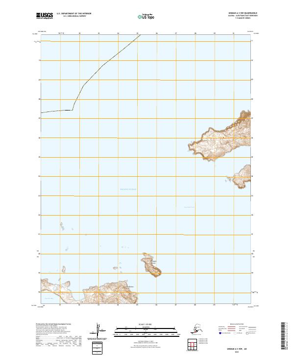
2021 Map of Unimak A-3 NW
USGS Topo · Published 2021About this map
Kaligagan Island stands as a lonely landmass in the waters of the Pacific Ocean, defined by its isolation within the Aleutian archipelago. This nautical landscape is segmented by the Ugamak Strait, a critical passage for local navigation between islands. To the south, the shoreline is punctuated by Tigalda Bay and the coastal rise of Unimguukux, showing the complex relationship between the sea and the volcanic terrain of the Aleutians East Borough. The lack of inland infrastructure emphasizes the maritime-dependent nature of this region, where survival and movement are dictated entirely by the surrounding tides and sheltered inlets like Tigalda Bay.
Find a feature on this map
8 named features on this map. Tap any name to fly to it.
Don’t see what you’re looking for? This feature index may not catch every label — zoom into the map to look around manually.
Map Details
Editions of this 2021 Unimak A-3 NW Map
This is the sole edition of this map. No revisions or reprints were ever made.
Other maps of this area

1951 · Unimak
USGS Topo · 1:250,000

1958 · Unimak
USGS Topo · 1:250,000
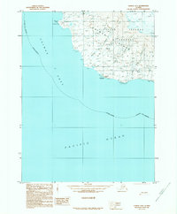
1989 · Unimak B-3
USGS Topo · 1:63,360
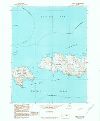
1989 · Unimak A-4
USGS Topo · 1:63,360
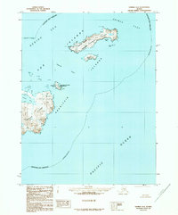
1989 · Unimak A-3
USGS Topo · 1:63,360
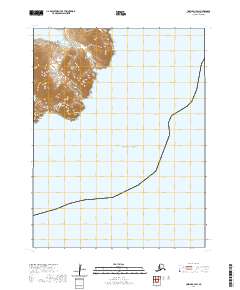
2020 · Unimak A-3 SW
USGS Topo · 1:25,000
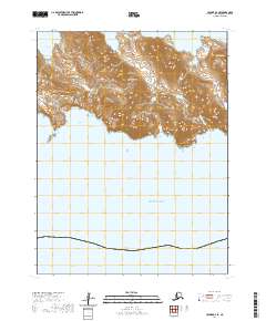
2020 · Unimak A-4 SE
USGS Topo · 1:25,000
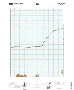
2020 · Unimak A-4 NE
USGS Topo · 1:25,000
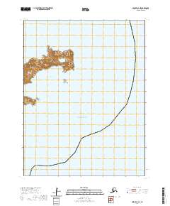
2020 · Unimak A-3 NE
USGS Topo · 1:25,000