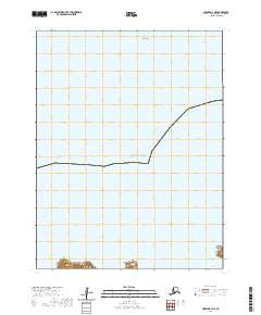
2020 Map of Unimak A-4 NE
USGS Topo · Published 2020About this map
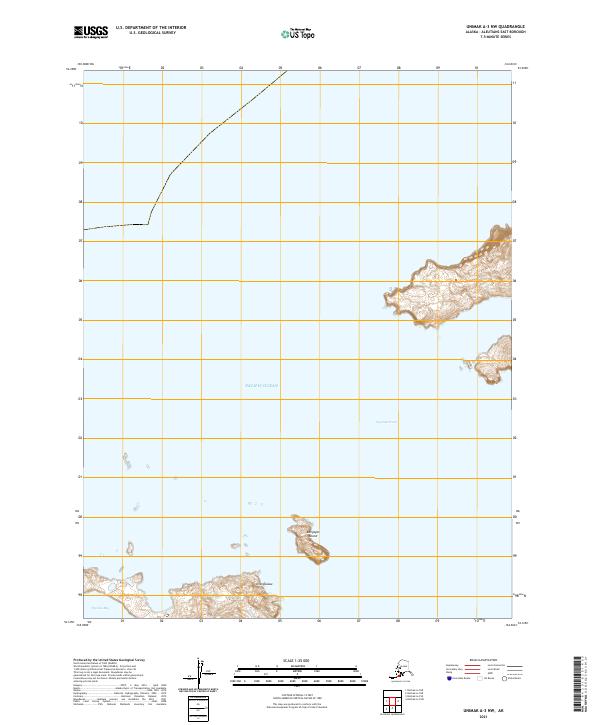
Akun Island and the expansive waters of the Pacific Ocean dominate this remote maritime landscape in the Aleutians East region. The survey highlights a rugged coastal environment where the land meets the sea at Tigalda Bay, a geographic anchor in the southern portion of the sheet. Modern cartographic precision from the U.S. Geological Survey is used here to delineate the Public Land Survey System boundaries, including t70s r107w and t70s r106w. This transition between island terrain and open ocean illustrates the isolation and topographic character of the Aleutian chain, providing a clear record of the coastline's geometry and maritime boundaries in the early twenty-first century.
Find a feature on this map
7 named features on this map. Tap any name to fly to it.
Don’t see what you’re looking for? This feature index may not catch every label — zoom into the map to look around manually.
Map Details
Editions of this 2020 Unimak A-4 NE Map
This is the sole edition of this map. No revisions or reprints were ever made.
Other maps of this area

1951 · Unimak
USGS Topo · 1:250,000

1958 · Unimak
USGS Topo · 1:250,000
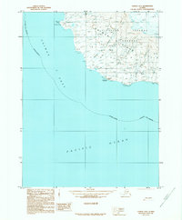
1989 · Unimak B-3
USGS Topo · 1:63,360
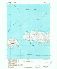
1989 · Unimak A-4
USGS Topo · 1:63,360
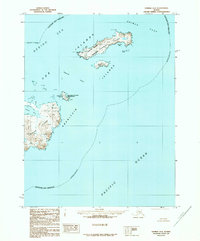
1989 · Unimak A-3
USGS Topo · 1:63,360
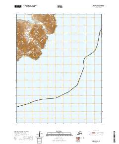
2020 · Unimak A-3 SW
USGS Topo · 1:25,000
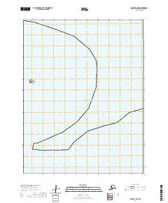
2020 · Unimak A-4 NW
USGS Topo · 1:25,000
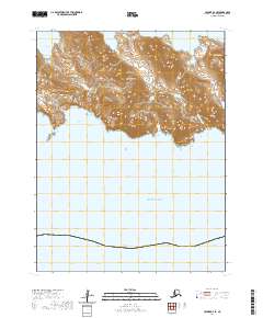
2020 · Unimak A-4 SE
USGS Topo · 1:25,000
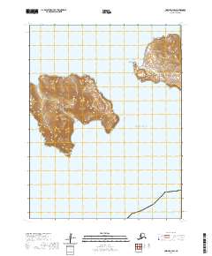
2020 · Unimak A-4 SW
USGS Topo · 1:25,000
2021 · Unimak A-3 NW
USGS Topo · 1:25,000