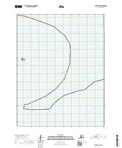
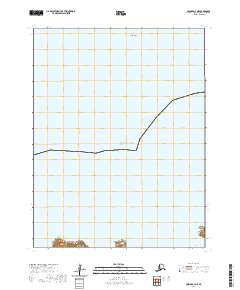
2020 Map of Unimak A-4 NW
USGS Topo · Published 2020About this map
Tanginak Island sits isolated in the open waters of the Pacific Ocean, representing one of the smaller landmasses in the Aleutian chain. This 2020 survey provides a high-resolution view of the island's coastline and its relative position within the maritime survey grid, specifically within the t69s r109w township. The topographic data captures the exact shoreline and elevations of this remote landform as they existed in the early 21st century. While uninhabited, the island serves as a vital marker for maritime navigation and environmental monitoring in the Bering Sea region, with the map documenting the precise boundaries between the land and the surrounding sea.
Find a feature on this map
5 named features on this map. Tap any name to fly to it.
Don’t see what you’re looking for? This feature index may not catch every label — zoom into the map to look around manually.
Map Details
Editions of this 2020 Unimak A-4 NW Map
This is the sole edition of this map. No revisions or reprints were ever made.
Other maps of this area

1951 · Unimak
USGS Topo · 1:250,000

1958 · Unimak
USGS Topo · 1:250,000
1989 · Unimak B-5
USGS Topo · 1:63,360
1989 · Unimak A-5
USGS Topo · 1:63,360
1989 · Unimak A-4
USGS Topo · 1:63,360
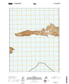
2020 · Unimak A-5 SE
USGS Topo · 1:25,000
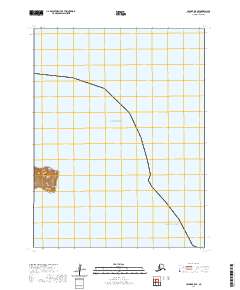
2020 · Unimak B-5 SE
USGS Topo · 1:25,000
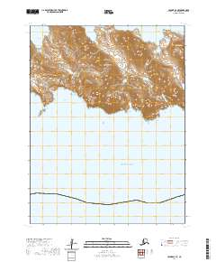
2020 · Unimak A-4 SE
USGS Topo · 1:25,000
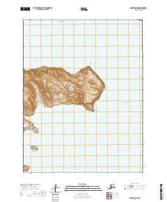
2020 · Unimak A-5 NE
USGS Topo · 1:25,000
2020 · Unimak A-4 NE
USGS Topo · 1:25,000