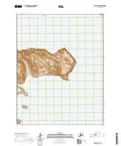
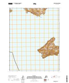
2020 Map of Unimak A-5 NE
USGS Topo · Published 2020About this map
The coastal terrain of this remote Aleutian island is defined by dramatic headlands and deep-water inlets where the Bering Sea meets the Pacific Ocean. On the western edge of the landmass, Seredka Bay and Cross Bay provide significant indentations in the coastline, separated by the prominent reach of Cross Point. The topography rises steeply to peaks such as Slukom-tugumaga and Agan, reflecting the volcanic origins of the chain. To the south, the isolated Tangik Island sits off the coast, a detached landmass within the surrounding currents. This survey by the U.S. Geological Survey captures the intricate shoreline between Akun Bay and the southeastern point at Round Head, documenting the maritime landscape of the Aleutians East Borough before the most recent topographic updates.
Find a feature on this map
15 named features on this map. Tap any name to fly to it.
Don’t see what you’re looking for? This feature index may not catch every label — zoom into the map to look around manually.
Map Details
Editions of this 2020 Unimak A-5 NE Map
This is the sole edition of this map. No revisions or reprints were ever made.
Other maps of this area

1951 · Unimak
USGS Topo · 1:250,000

1958 · Unimak
USGS Topo · 1:250,000
1989 · Unimak B-5
USGS Topo · 1:63,360
1989 · Unimak A-5
USGS Topo · 1:63,360
1989 · Unimak A-4
USGS Topo · 1:63,360
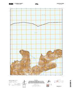
2020 · Unimak B-5 SW
USGS Topo · 1:25,000
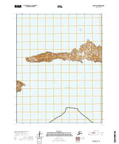
2020 · Unimak A-5 SE
USGS Topo · 1:25,000
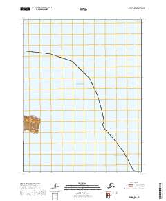
2020 · Unimak B-5 SE
USGS Topo · 1:25,000
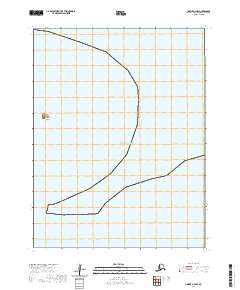
2020 · Unimak A-4 NW
USGS Topo · 1:25,000
2020 · Unimak A-5 SW
USGS Topo · 1:25,000