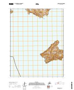
2020 Map of Unimak A-5 SW
USGS Topo · Published 2020About this map
Akutan Island and Rootok Island dominate this coastal landscape in the Aleutians East Borough, where the maritime terrain of the Pacific Ocean meets the steep volcanic topography of the islands. The northern portion of the map covers the southern fringes of Akutan, featuring Green Bight and the prominent Jackass Point near Easy Cove. Southeast across the water, the rugged contours of Rootok Island rise sharply from the sea, anchored by the distinct landmark of Pinnacle Rock offshore. This 2020 survey illustrates the isolated geography of the region, providing a detailed look at the unpopulated shorelines and named coastal features used by mariners and local inhabitants for navigation in these often-foggy waters.
Find a feature on this map
10 named features on this map. Tap any name to fly to it.
Don’t see what you’re looking for? This feature index may not catch every label — zoom into the map to look around manually.
Map Details
Editions of this 2020 Unimak A-5 SW Map
This is the sole edition of this map. No revisions or reprints were ever made.
Other maps of this area

1951 · Unimak
USGS Topo · 1:250,000

1958 · Unimak
USGS Topo · 1:250,000

1989 · Unimak A-6
USGS Topo · 1:63,360
1989 · Unimak A-5
USGS Topo · 1:63,360
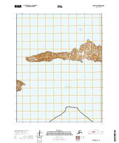
2020 · Unimak A-5 SE
USGS Topo · 1:25,000
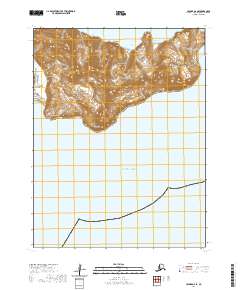
2020 · Unimak A-6 SE
USGS Topo · 1:25,000
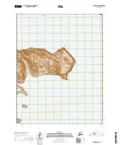
2020 · Unimak A-5 NE
USGS Topo · 1:25,000
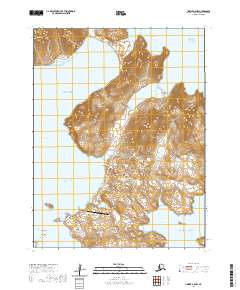
2020 · Unimak A-5 NW
USGS Topo · 1:25,000
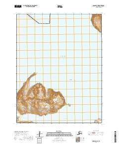
2020 · Unimak A-6 NE
USGS Topo · 1:25,000