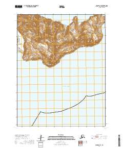
2020 Map of Unimak A-6 SE
USGS Topo · Published 2020About this map
The northern coastline of the Pacific Ocean meets a series of steep, unnamed coastal peaks on this 2020 map of the Unimak Island region. The terrain is defined by its dramatic relief and distinct coastal markers, from the southern reach of Talus Point to the western prominence of Vulcan Point. Moving eastward, the shoreline is punctuated by Green Bight, providing a maritime reference point against the high ridges of Inqim-qala and Saxtusix.
Find a feature on this map
12 named features on this map. Tap any name to fly to it.
Don’t see what you’re looking for? This feature index may not catch every label — zoom into the map to look around manually.
Map Details
Editions of this 2020 Unimak A-6 SE Map
This is the sole edition of this map. No revisions or reprints were ever made.
Other maps of this area

1951 · Unimak
USGS Topo · 1:250,000

1958 · Unimak
USGS Topo · 1:250,000

1989 · Unimak A-6
USGS Topo · 1:63,360
1989 · Unimak A-5
USGS Topo · 1:63,360
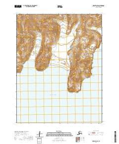
2020 · Unimak A-6 SW
USGS Topo · 1:25,000
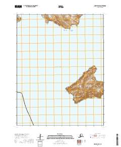
2020 · Unimak A-5 SW
USGS Topo · 1:25,000
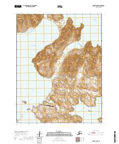
2020 · Unimak A-5 NW
USGS Topo · 1:25,000
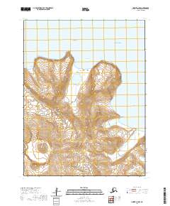
2020 · Unimak A-6 NW
USGS Topo · 1:25,000
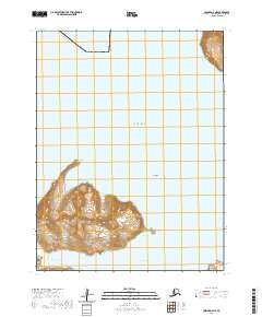
2020 · Unimak A-6 NE
USGS Topo · 1:25,000