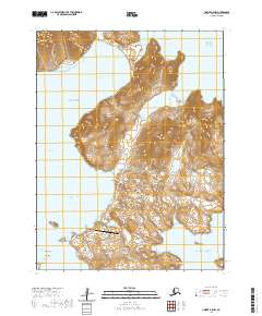
2020 Map of Unimak A-5 NW
USGS Topo · Published 2020About this map
Akutan sits at the heart of this maritime landscape within the Aleutian Islands, where the volcanic topography of the Fox Islands meets the volatile waters of the Bering Sea and the Pacific Ocean. The geography is defined by deep maritime inlets such as Akutan Bay and Trident Bay, which carve into the landmasses of Akun Island and its neighbors. To the north, the peak of Mt Gilbert rises above Helianthus Cove, marking a high point in a terrain characterized by steep coastal cliffs and narrow straits.
Find a feature on this map
26 named features on this map. Tap any name to fly to it.
Don’t see what you’re looking for? This feature index may not catch every label — zoom into the map to look around manually.
Map Details
Editions of this 2020 Unimak A-5 NW Map
This is the sole edition of this map. No revisions or reprints were ever made.
Other maps of this area

1951 · Unimak
USGS Topo · 1:250,000

1958 · Unimak
USGS Topo · 1:250,000
1989 · Unimak B-5
USGS Topo · 1:63,360

1989 · Unimak A-6
USGS Topo · 1:63,360
1989 · Unimak B-6
USGS Topo · 1:63,360
1989 · Unimak A-5
USGS Topo · 1:63,360
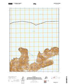
2020 · Unimak B-5 SW
USGS Topo · 1:25,000
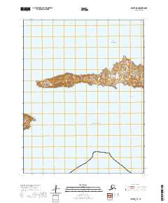
2020 · Unimak A-5 SE
USGS Topo · 1:25,000
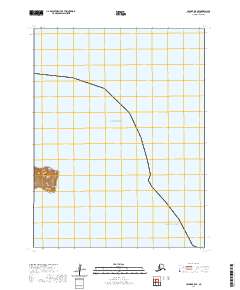
2020 · Unimak B-5 SE
USGS Topo · 1:25,000
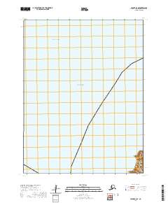
2020 · Unimak B-6 SE
USGS Topo · 1:25,000