
2020 Map of Unimak B-6 SE
USGS Topo · Published 2020About this map
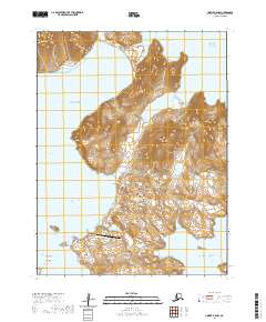
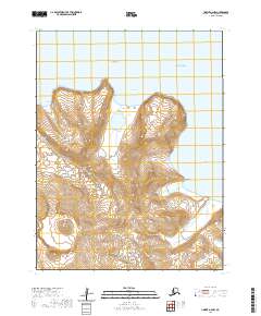
Akun Island emerges from the surrounding waters in the southeastern corner of this maritime survey, representing a remote portion of the Aleutian Islands chain. This specific area within the Fox Islands group captures the transition between the Bering Sea and the Pacific Ocean. The topography shown on this coastal fragment of the Krenitzin Islands is defined by sharp elevation changes along the shoreline, typical of the volcanic archipelago. Much of the map's area is dedicated to the vast open sea, emphasizing the isolation of these landmasses. The inclusion of the Public Land Survey System grid t68s r110w provides a administrative framework for this remote Alaskan territory during the early twenty-first century.
Find a feature on this map
7 named features on this map. Tap any name to fly to it.
Don’t see what you’re looking for? This feature index may not catch every label — zoom into the map to look around manually.
Map Details
Editions of this 2020 Unimak B-6 SE Map
This is the sole edition of this map. No revisions or reprints were ever made.
Other maps of this area

1951 · Unimak
USGS Topo · 1:250,000

1958 · Unimak
USGS Topo · 1:250,000
1989 · Unimak B-5
USGS Topo · 1:63,360

1989 · Unimak A-6
USGS Topo · 1:63,360
1989 · Unimak B-6
USGS Topo · 1:63,360
1989 · Unimak A-5
USGS Topo · 1:63,360
2020 · Unimak B-5 SW
USGS Topo · 1:25,000
2020 · Unimak A-5 NW
USGS Topo · 1:25,000
2020 · Unimak A-6 NW
USGS Topo · 1:25,000

2020 · Unimak A-6 NE
USGS Topo · 1:25,000