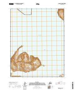
2020 Map of Unimak A-6 NE
USGS Topo · Published 2020About this map
Akutan dominates the southern reaches of this maritime survey, showcasing the volcanic terrain of the Aleutian Islands where the Bering Sea meets sheltered deep-water inlets. The topography is defined by significant elevations such as Anigaaxsix, with steep coastal cliffs dropping toward Sandy Cove and Akutan Harbor. This 2020 edition provides modern geographic nomenclature for indigenous landforms, including Sisxim-nuugii, Chixchan-qala, and Aatqaayang. The map reflects a landscape primarily shaped by its maritime orientation, where named features like Akutan Point and Ridge Point serve as critical navigational markers along the rugged northern coast of the island. The survey captures the remote character of the Aleutians East Borough, emphasizing the relationship between the mountainous interior and the surrounding waters of Akutan Bay.
Find a feature on this map
16 named features on this map. Tap any name to fly to it.
Don’t see what you’re looking for? This feature index may not catch every label — zoom into the map to look around manually.
Map Details
Editions of this 2020 Unimak A-6 NE Map
This is the sole edition of this map. No revisions or reprints were ever made.
Other maps of this area

1951 · Unimak
USGS Topo · 1:250,000

1958 · Unimak
USGS Topo · 1:250,000
1989 · Unimak B-5
USGS Topo · 1:63,360

1989 · Unimak A-6
USGS Topo · 1:63,360
1989 · Unimak B-6
USGS Topo · 1:63,360
1989 · Unimak A-5
USGS Topo · 1:63,360
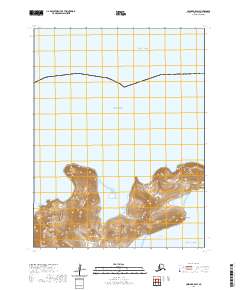
2020 · Unimak B-5 SW
USGS Topo · 1:25,000
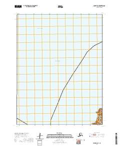
2020 · Unimak B-6 SE
USGS Topo · 1:25,000
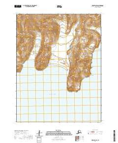
2020 · Unimak A-6 SW
USGS Topo · 1:25,000
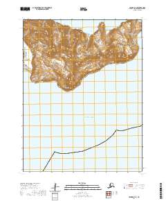
2020 · Unimak A-6 SE
USGS Topo · 1:25,000