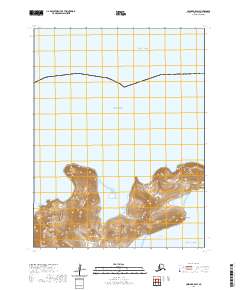
2020 Map of Unimak B-5 SW
USGS Topo · Published 2020About this map
Akutan serves as the focal point of this coastal survey, situated where the Bering Sea and the Pacific Ocean meet in the Aleutian Islands. The landscape is dominated by volcanic geography, most notably Mt Gilbert and the high elevation of Akun Head on nearby Akun Island. The proximity of Little Bay and Helianthus Cove illustrates the maritime dependence of these remote outposts within the Fox Islands and Krenitzin Islands groups.
Find a feature on this map
14 named features on this map. Tap any name to fly to it.
Don’t see what you’re looking for? This feature index may not catch every label — zoom into the map to look around manually.
Map Details
Editions of this 2020 Unimak B-5 SW Map
This is the sole edition of this map. No revisions or reprints were ever made.
Other maps of this area

1951 · Unimak
USGS Topo · 1:250,000

1958 · Unimak
USGS Topo · 1:250,000
1989 · Unimak B-5
USGS Topo · 1:63,360

1989 · Unimak A-6
USGS Topo · 1:63,360
1989 · Unimak B-6
USGS Topo · 1:63,360
1989 · Unimak A-5
USGS Topo · 1:63,360
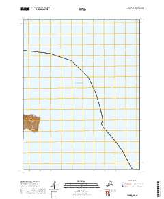
2020 · Unimak B-5 SE
USGS Topo · 1:25,000
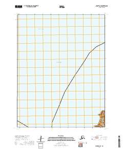
2020 · Unimak B-6 SE
USGS Topo · 1:25,000
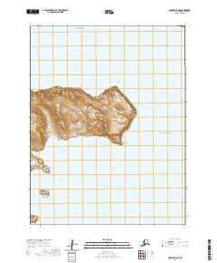
2020 · Unimak A-5 NE
USGS Topo · 1:25,000
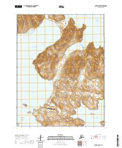
2020 · Unimak A-5 NW
USGS Topo · 1:25,000