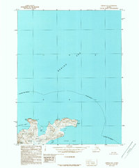
1989 Map of Unimak B-5
USGS Topo · Published 1989About this map
Akun Island dominates the southern reaches of this 1989 provisional survey, showcasing the maritime isolation of the eastern Aleutians. The topography centers on the heights of Mount Gilbert and the surrounding coastal prominences of Akun Head and Billings Head. As part of the Alaska Maritime National Wildlife Refuge, the area is characterized by dramatic inlets and coves where the Akutan Bay and Akun Bay meet the cold waters of the Bering Sea. This map is particularly useful for visualizing the untouched coastline of the Aleutians East Borough before modern satellite precision, reflecting the geographic data as it stood in the early 1980s. Key water features like Little Bay and the sheltered Helianthus Cove provide insight into the natural harbors and rugged shoreline that define this northern landscape.
Find a feature on this map
12 named features on this map. Tap any name to fly to it.
Don’t see what you’re looking for? This feature index may not catch every label — zoom into the map to look around manually.
Map Details
Editions of this 1989 Unimak B-5 Map
This is the sole edition of this map. No revisions or reprints were ever made.
Other maps of this area

1951 · Unimak
USGS Topo · 1:250,000

1958 · Unimak
USGS Topo · 1:250,000

1989 · Unimak A-6
USGS Topo · 1:63,360
1989 · Unimak B-6
USGS Topo · 1:63,360
1989 · Unimak A-5
USGS Topo · 1:63,360
1989 · Unimak A-4
USGS Topo · 1:63,360
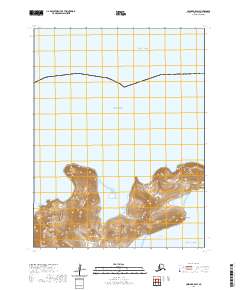
2020 · Unimak B-5 SW
USGS Topo · 1:25,000
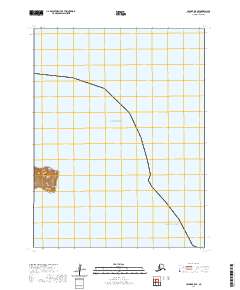
2020 · Unimak B-5 SE
USGS Topo · 1:25,000
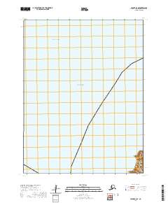
2020 · Unimak B-6 SE
USGS Topo · 1:25,000
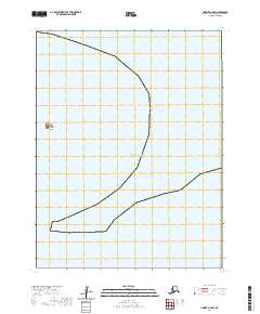
2020 · Unimak A-4 NW
USGS Topo · 1:25,000