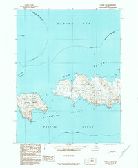
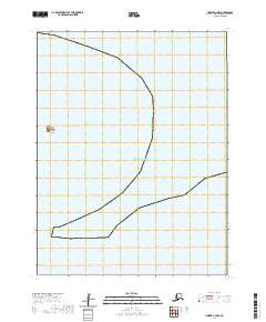
1989 Map of Unimak A-4
USGS Topo · Published 1989About this map
Tigalda Island and Avatanak Island dominate this maritime survey of the Fox Islands group in the late twentieth century. Located within the Aleutian Islands Wilderness, these landmasses are characterized by sharp coastal features such as Avatanak Point and sheltered waters like Kelp Bay and Tigalda Bay. The map records a landscape shaped by the meeting of the Bering Sea and the Pacific Ocean, separated by the Avatanak Strait and Derbin Strait. While there are no roads or trails indicated on the islands, the placement of smaller outcrops like Tanginak Island and Derbin Island provides a detailed view of the remote archipelago's geography as documented in the late 1980s.
Find a feature on this map
18 named features on this map. Tap any name to fly to it.
Don’t see what you’re looking for? This feature index may not catch every label — zoom into the map to look around manually.
Map Details
Editions of this 1989 Unimak A-4 Map
This is the sole edition of this map. No revisions or reprints were ever made.
Other maps of this area

1951 · Unimak
USGS Topo · 1:250,000

1958 · Unimak
USGS Topo · 1:250,000
1989 · Unimak B-5
USGS Topo · 1:63,360
1989 · Unimak B-3
USGS Topo · 1:63,360
1989 · Unimak A-5
USGS Topo · 1:63,360
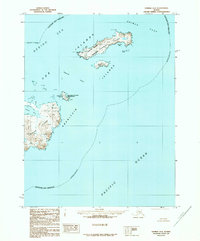
1989 · Unimak A-3
USGS Topo · 1:63,360
2020 · Unimak A-3 SW
USGS Topo · 1:25,000
2020 · Unimak A-5 SE
USGS Topo · 1:25,000
2020 · Unimak B-5 SE
USGS Topo · 1:25,000
2020 · Unimak A-4 NW
USGS Topo · 1:25,000