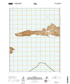
2020 Map of Unimak A-5 SE
USGS Topo · Published 2020About this map
Avatanak Island and its surrounding Aleutian waters are the focal point of this 2020 topographic survey produced by the U.S. Geological Survey. The landscape is defined by its maritime geography, situated between the Avatanak Strait to the north and the open Pacific Ocean to the south. The island's eastern shoreline is marked by the indentation of Chimney Cove, while its northern coast is guarded by the prominent landmark of Basalt Rock. The map illustrates the island's isolation within the eastern Aleutians, showing the narrow passage of Rootok Strait to the west. This survey provides a precise record of coastal topography and elevations, capturing the natural features of this maritime environment in the Aleutians East Borough.
Find a feature on this map
10 named features on this map. Tap any name to fly to it.
Don’t see what you’re looking for? This feature index may not catch every label — zoom into the map to look around manually.
Map Details
Editions of this 2020 Unimak A-5 SE Map
This is the sole edition of this map. No revisions or reprints were ever made.
Other maps of this area

1951 · Unimak
USGS Topo · 1:250,000

1958 · Unimak
USGS Topo · 1:250,000
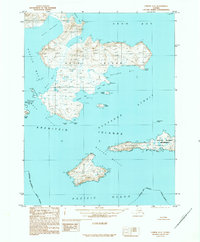
1989 · Unimak A-5
USGS Topo · 1:63,360
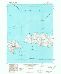
1989 · Unimak A-4
USGS Topo · 1:63,360
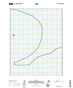
2020 · Unimak A-4 NW
USGS Topo · 1:25,000
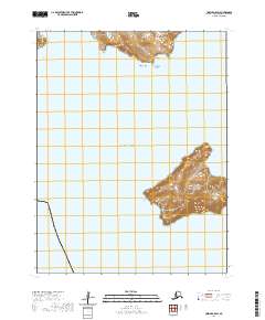
2020 · Unimak A-5 SW
USGS Topo · 1:25,000
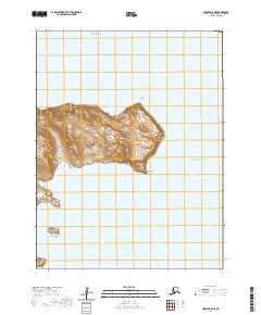
2020 · Unimak A-5 NE
USGS Topo · 1:25,000
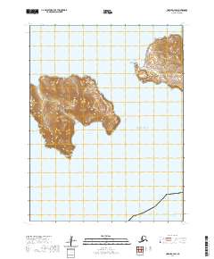
2020 · Unimak A-4 SW
USGS Topo · 1:25,000
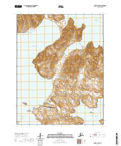
2020 · Unimak A-5 NW
USGS Topo · 1:25,000