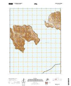
2020 Map of Unimak A-4 SW
USGS Topo · Published 2020About this map
Avatanak Island dominates the western portion of this 2020 topographic study, its steep contours rising sharply from the waters of the Pacific Ocean. The coastline is marked by distinct indentations, including the sheltered Chimney Cove on the western shore and the wide Avatanak Bight to the south. Navigation through these Aleutian waters is dictated by the Derbin Strait, which separates the island's high ridges from neighboring landmasses. The lack of roads or established settlements on the island reflects its status as a landscape primarily defined by its extreme topography and maritime exposure. Researchers interested in the geography of the Aleutians East Borough can trace the precipitous terrain from the shoreline up to the island's interior peaks, terminating at the prominent southern tip known as Avatanak Point.
Find a feature on this map
10 named features on this map. Tap any name to fly to it.
Don’t see what you’re looking for? This feature index may not catch every label — zoom into the map to look around manually.
Map Details
Editions of this 2020 Unimak A-4 SW Map
This is the sole edition of this map. No revisions or reprints were ever made.
Other maps of this area

1951 · Unimak
USGS Topo · 1:250,000

1958 · Unimak
USGS Topo · 1:250,000
1989 · Unimak A-5
USGS Topo · 1:63,360
1989 · Unimak A-4
USGS Topo · 1:63,360
2020 · Unimak A-5 SE
USGS Topo · 1:25,000
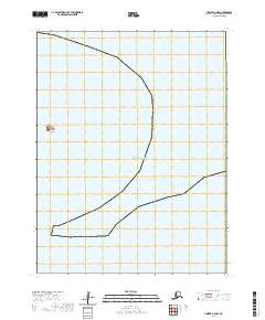
2020 · Unimak A-4 NW
USGS Topo · 1:25,000
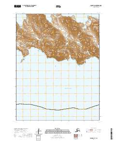
2020 · Unimak A-4 SE
USGS Topo · 1:25,000
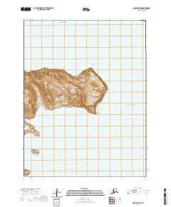
2020 · Unimak A-5 NE
USGS Topo · 1:25,000
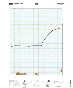
2020 · Unimak A-4 NE
USGS Topo · 1:25,000