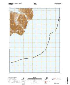
2020 Map of Unimak A-3 SW
USGS Topo · Published 2020About this map
Tigalda Island forms the primary landmass in this remote island group within the Fox Islands and Krenitzin Islands. Located in the larger Aleutian Islands chain, the island's steep, ridged terrain rises sharply from the Pacific Ocean. Notable topographic landmarks such as Agaagilagukux and Angaakix characterize the southern reach of the island, where the land falls away into the sea. The map detail reflects the untouched nature of this environment, focusing on the natural contours and shoreline of the island without any evidence of permanent human settlements, roads, or industrial development. This survey provides a precise look at the landforms of the archipelago as they were documented in the early twenty-first century, emphasizing the sheer elevation changes typical of this volcanic region.
Find a feature on this map
8 named features on this map. Tap any name to fly to it.
Don’t see what you’re looking for? This feature index may not catch every label — zoom into the map to look around manually.
Map Details
Editions of this 2020 Unimak A-3 SW Map
This is the sole edition of this map. No revisions or reprints were ever made.
Other maps of this area

1951 · Unimak
USGS Topo · 1:250,000

1958 · Unimak
USGS Topo · 1:250,000
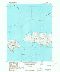
1989 · Unimak A-4
USGS Topo · 1:63,360
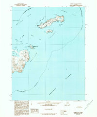
1989 · Unimak A-3
USGS Topo · 1:63,360
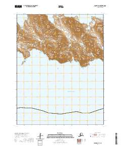
2020 · Unimak A-4 SE
USGS Topo · 1:25,000
2020 · Unimak A-4 NE
USGS Topo · 1:25,000
2020 · Unimak A-3 NE
USGS Topo · 1:25,000
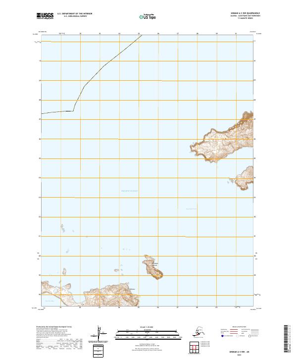
2021 · Unimak A-3 NW
USGS Topo · 1:25,000