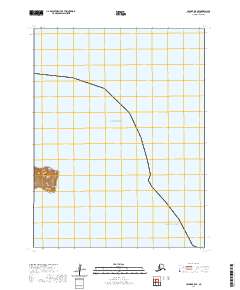
2020 Map of Unimak B-5 SE
USGS Topo · Published 2020About this map
Billings Head rises sharply from the shoreline in this remote maritime landscape, serving as a prominent coastal landmark where the waters of the Bering Sea and the Pacific Ocean converge. The topography is defined by steep coastal bluffs and the sheltered waters of Akun Bay, illustrating the dramatic interface between the volcanic terrain of the Aleutian archipelago and the surrounding sea. This survey reflects the modern maritime boundaries and natural landforms of the Unimak region, with a primary focus on the coastal contours and the strategic positioning of the headland. While the area is largely devoid of permanent human settlements or structures, the map provides precise data on the natural hydrology and the Public Land Survey System grid, including township markers like t68s r109w.
Find a feature on this map
5 named features on this map. Tap any name to fly to it.
Don’t see what you’re looking for? This feature index may not catch every label — zoom into the map to look around manually.
Map Details
Editions of this 2020 Unimak B-5 SE Map
This is the sole edition of this map. No revisions or reprints were ever made.
Other maps of this area

1951 · Unimak
USGS Topo · 1:250,000

1958 · Unimak
USGS Topo · 1:250,000
1989 · Unimak B-5
USGS Topo · 1:63,360
1989 · Unimak A-5
USGS Topo · 1:63,360
1989 · Unimak A-4
USGS Topo · 1:63,360
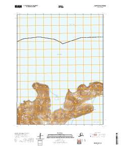
2020 · Unimak B-5 SW
USGS Topo · 1:25,000
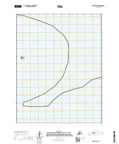
2020 · Unimak A-4 NW
USGS Topo · 1:25,000
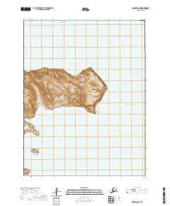
2020 · Unimak A-5 NE
USGS Topo · 1:25,000
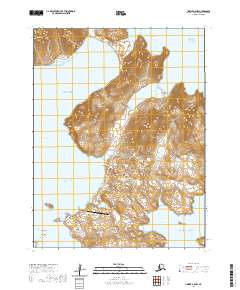
2020 · Unimak A-5 NW
USGS Topo · 1:25,000