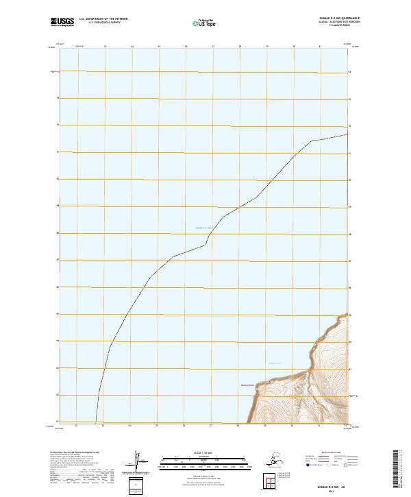
2021 Map of Unimak D-2 NW
USGS Topo · Published 2021About this map
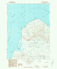
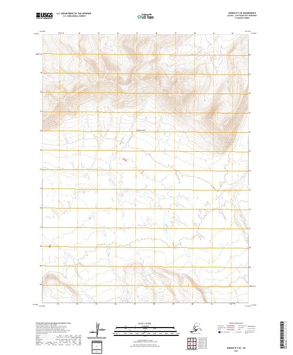
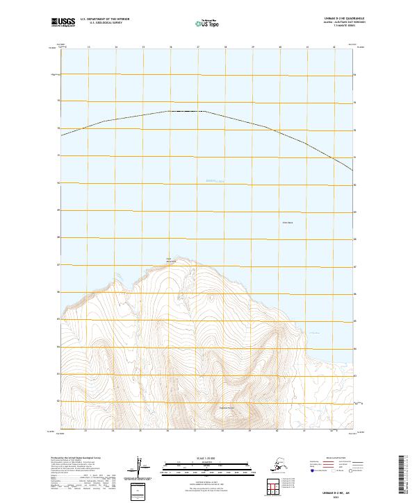
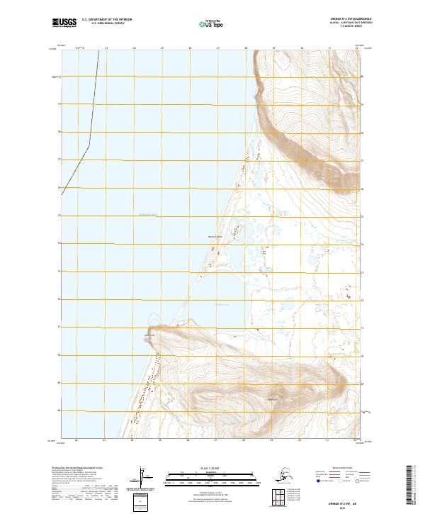
The Bering Sea dominates this coastal survey, where the extreme southwestern tip of the Alaska Peninsula meets the water at Oksenof Point. The shoreline here is marked by steep elevation rises directly from the coast, particularly around Nipper Cove, where the terrain climbs quickly into the interior. This map focuses on the maritime edge of the Unimak region, showing the precise intersection of the coastline with the Public Land Survey System grids of t61s r102w and t61s r101w. The lack of inland infrastructure emphasizes the isolation of this maritime landscape in the early twenty-first century, documenting a wilderness area defined primarily by its topographic relationship to the sea.
Find a feature on this map
5 named features on this map. Tap any name to fly to it.
Don’t see what you’re looking for? This feature index may not catch every label — zoom into the map to look around manually.
Map Details
Editions of this 2021 Unimak D-2 NW Map
This is the sole edition of this map. No revisions or reprints were ever made.