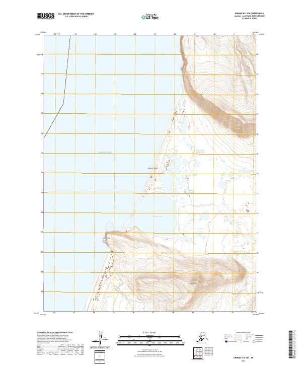
2021 Map of Unimak D-2 SW
USGS Topo · Published 2021About this map
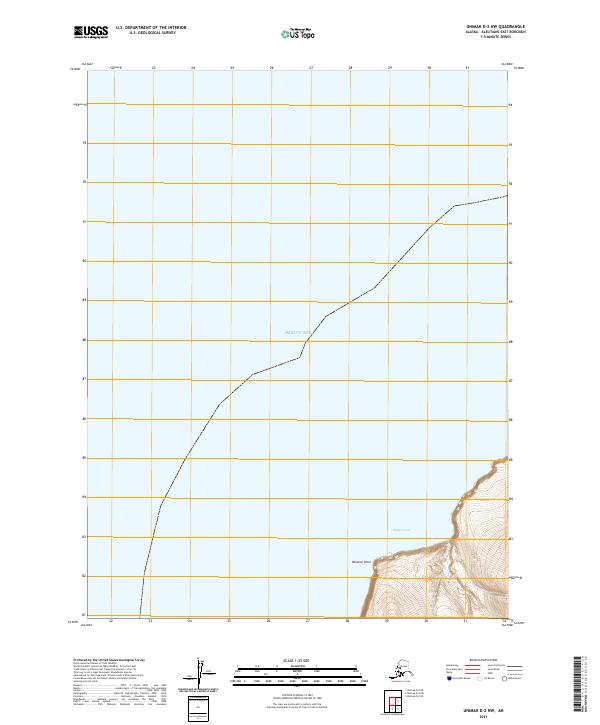
Oksenof Beach stretches along the remote coastline of the Bering Sea, defining a landscape where maritime and terrestrial forces meet. This 2021 survey reveals a complex hydrological network dominated by the meandering course of Winding Creek and the stagnant waters of Shishkof Pond. The terrain transitions from these low-lying coastal features to more prominent elevations at Cave Point and Black Hill, which anchor the southern half of the quadrangle. The map is primarily characterized by its absence of permanent human settlements or infrastructure, focusing instead on the natural topography and the intricate drainage patterns of small tributaries like Nipper Cr. It serves as a detailed record of the shoreline and elevation contours of the Alaska Peninsula in the modern era.
Find a feature on this map
14 named features on this map. Tap any name to fly to it.
Don’t see what you’re looking for? This feature index may not catch every label — zoom into the map to look around manually.
Map Details
Editions of this 2021 Unimak D-2 SW Map
This is the sole edition of this map. No revisions or reprints were ever made.
Other maps of this area

1951 · Unimak
USGS Topo · 1:250,000

1958 · Unimak
USGS Topo · 1:250,000
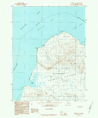
1989 · Unimak D-2
USGS Topo · 1:63,360
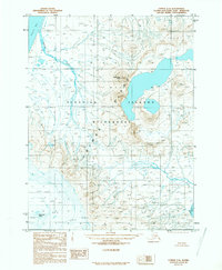
1989 · Unimak C-2
USGS Topo · 1:63,360
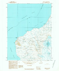
1989 · Unimak C-3
USGS Topo · 1:63,360
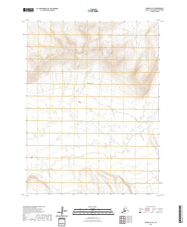
2021 · Unimak D-2 SE
USGS Topo · 1:25,000
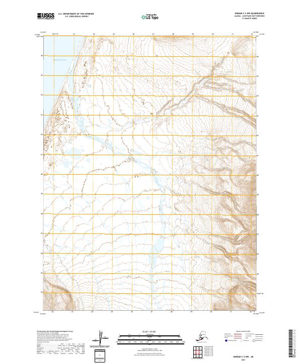
2021 · Unimak C-2 NW
USGS Topo · 1:25,000
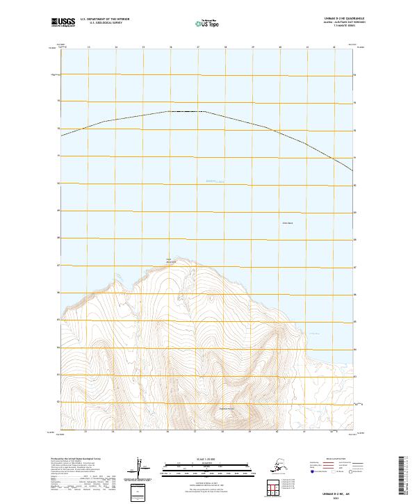
2021 · Unimak D-2 NE
USGS Topo · 1:25,000
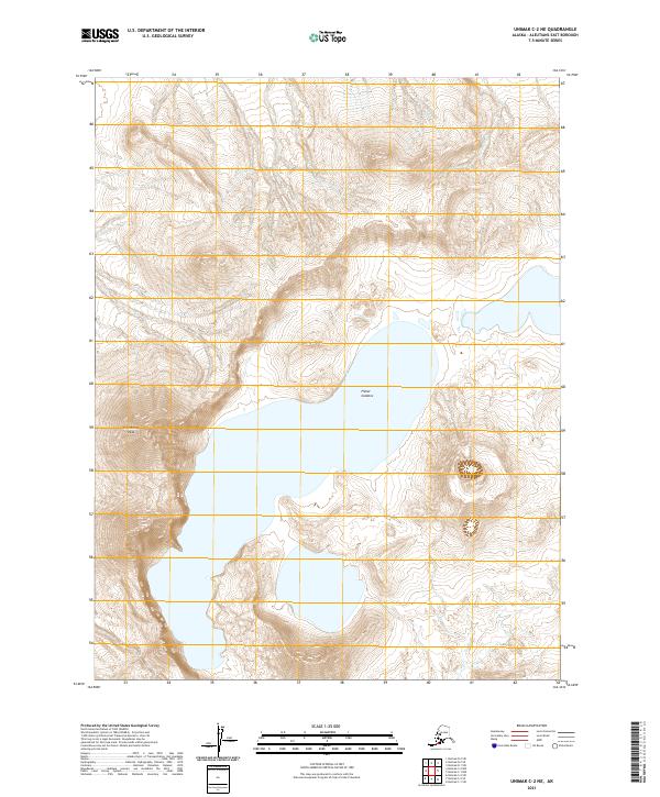
2021 · Unimak C-2 NE
USGS Topo · 1:25,000
2021 · Unimak D-2 NW
USGS Topo · 1:25,000