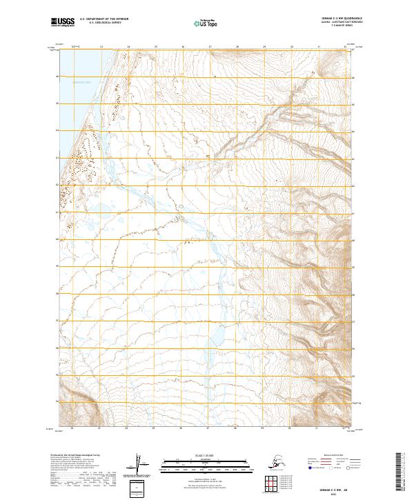
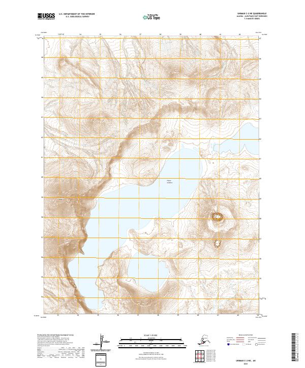
2021 Map of Unimak C-2 NW
USGS Topo · Published 2021About this map
Bering Sea waters wash the northwestern shoreline of this remote coastal reach on Unimak Island. The landscape is defined by the Pogromni River, which creates a complex network of braided channels and wetlands as it flows toward the coast. While the western portion of the map consists of low-lying drainage basins, the eastern edge rises sharply into steep, high-elevation ridges. The survey captures this environment through modern digital elevation data and hydrography from the early 21st century, showing the natural progression of the river system through the volcanic terrain of the Aleutians East Borough.
Find a feature on this map
6 named features on this map. Tap any name to fly to it.
Don’t see what you’re looking for? This feature index may not catch every label — zoom into the map to look around manually.
Map Details
Editions of this 2021 Unimak C-2 NW Map
This is the sole edition of this map. No revisions or reprints were ever made.
Other maps of this area

1951 · Unimak
USGS Topo · 1:250,000

1958 · Unimak
USGS Topo · 1:250,000
1989 · Unimak D-2
USGS Topo · 1:63,360
1989 · Unimak C-2
USGS Topo · 1:63,360
1989 · Unimak C-3
USGS Topo · 1:63,360
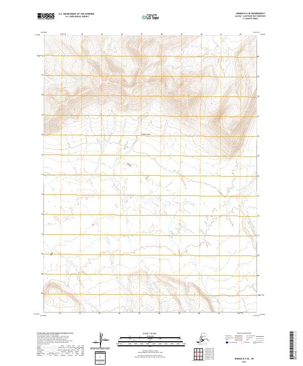
2021 · Unimak D-2 SE
USGS Topo · 1:25,000
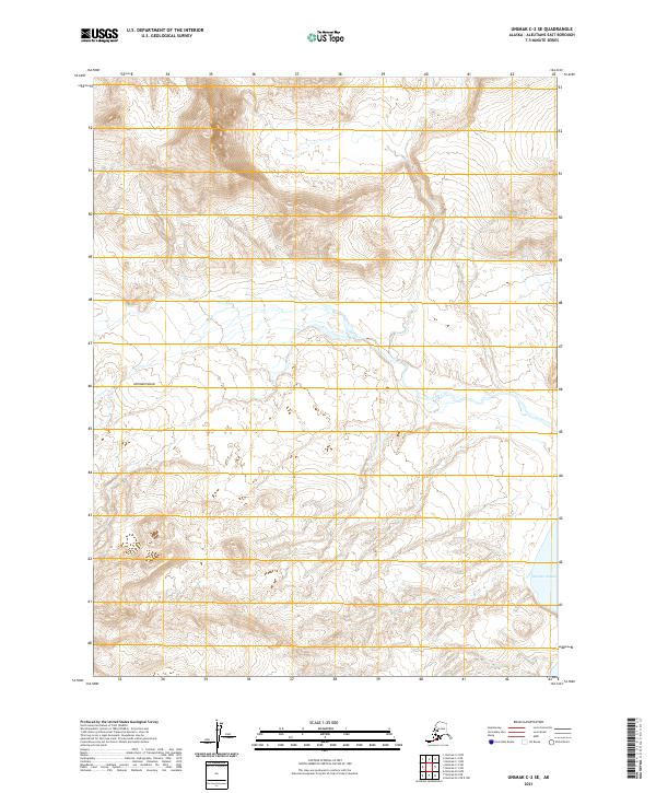
2021 · Unimak C-2 SE
USGS Topo · 1:25,000
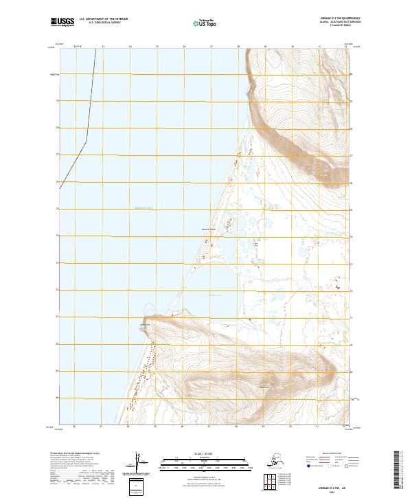
2021 · Unimak D-2 SW
USGS Topo · 1:25,000
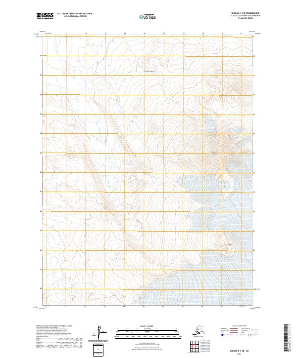
2021 · Unimak C-3 SE
USGS Topo · 1:25,000
2021 · Unimak C-2 NE
USGS Topo · 1:25,000