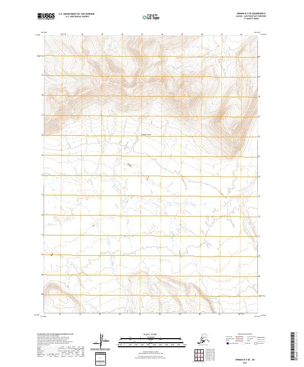
2021 Map of Unimak D-2 SE
USGS Topo · Published 2021About this map
Unimak Island's isolated coastal interior is defined by a dramatic transition from high volcanic peaks to a sprawling wetland network. The northern portion of the quadrangle is dominated by steep, closely spaced contours reaching elevations over 2,000 feet, where Nipper Cr originates and flows westward. As the elevation drops toward the south and west, the landscape flattens into a complex of braided waterways. The most prominent of these is Winding Cr, which meanders across the central and southern sections, illustrating the typical drainage patterns of the Aleutian chain before these waters reach the Bering Sea or Pacific. This modern survey provides a precise view of the island's hydrography and public land survey system, including the boundaries of t62s r101w and t62s r100w.
Find a feature on this map
9 named features on this map. Tap any name to fly to it.
Don’t see what you’re looking for? This feature index may not catch every label — zoom into the map to look around manually.
Map Details
Editions of this 2021 Unimak D-2 SE Map
This is the sole edition of this map. No revisions or reprints were ever made.
Other maps of this area

1951 · Unimak
USGS Topo · 1:250,000

1958 · Unimak
USGS Topo · 1:250,000

1989 · Unimak C-1
USGS Topo · 1:63,360
1989 · Unimak D-2
USGS Topo · 1:63,360
1989 · Unimak D-1
USGS Topo · 1:63,360
1989 · Unimak C-2
USGS Topo · 1:63,360
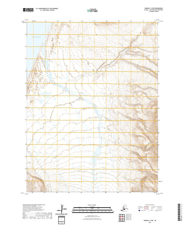
2021 · Unimak C-2 NW
USGS Topo · 1:25,000
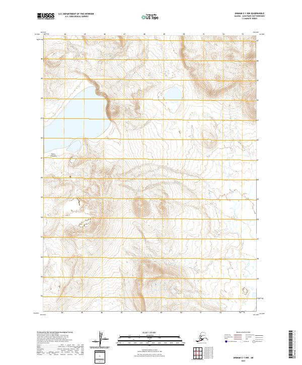
2021 · Unimak C-1 NW
USGS Topo · 1:25,000
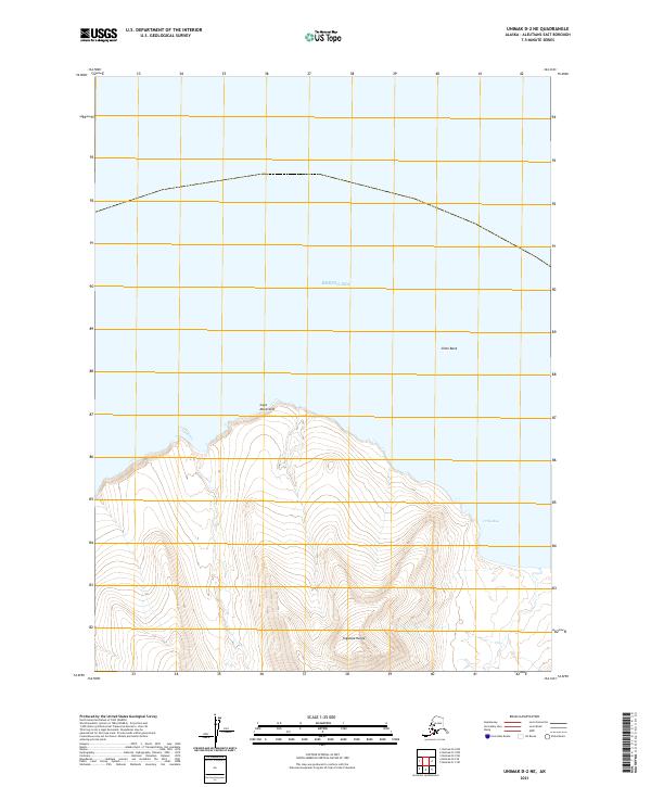
2021 · Unimak D-2 NE
USGS Topo · 1:25,000
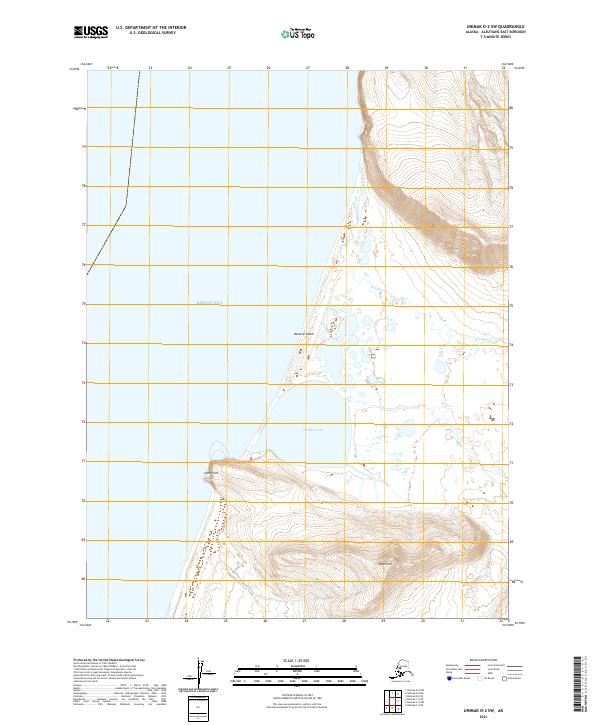
2021 · Unimak D-2 SW
USGS Topo · 1:25,000