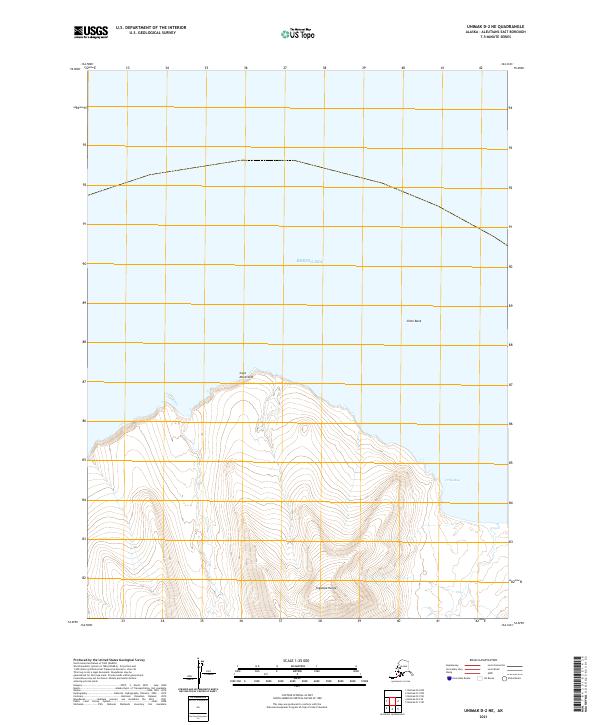
2021 Map of Unimak D-2 NE
USGS Topo · Published 2021About this map
The Tugamak Range dominates the southern reaches of this maritime landscape, rising abruptly from the northern coast of Unimak Island. Along the shoreline, Cape Mordvinof extends into the Bering Sea, marking a prominent point for navigation between the open water and the sheltered indentations of Urilla Bay. The map reveals a land defined by its isolation and dramatic elevation changes, where high ridges transition into the shallow waters of the Slime Bank offshore. Surveyed for the National Geospatial Program, this 2021 edition provides precise topographic data for this part of the Aleutians East Borough, showing the township boundaries of t61s r101w and t61s r100w across a terrain devoid of modern road infrastructure.
Find a feature on this map
7 named features on this map. Tap any name to fly to it.
Don’t see what you’re looking for? This feature index may not catch every label — zoom into the map to look around manually.
Map Details
Editions of this 2021 Unimak D-2 NE Map
This is the sole edition of this map. No revisions or reprints were ever made.
Other maps of this area

1951 · Unimak
USGS Topo · 1:250,000

1958 · Unimak
USGS Topo · 1:250,000
1989 · Unimak D-2
USGS Topo · 1:63,360
1989 · Unimak D-1
USGS Topo · 1:63,360
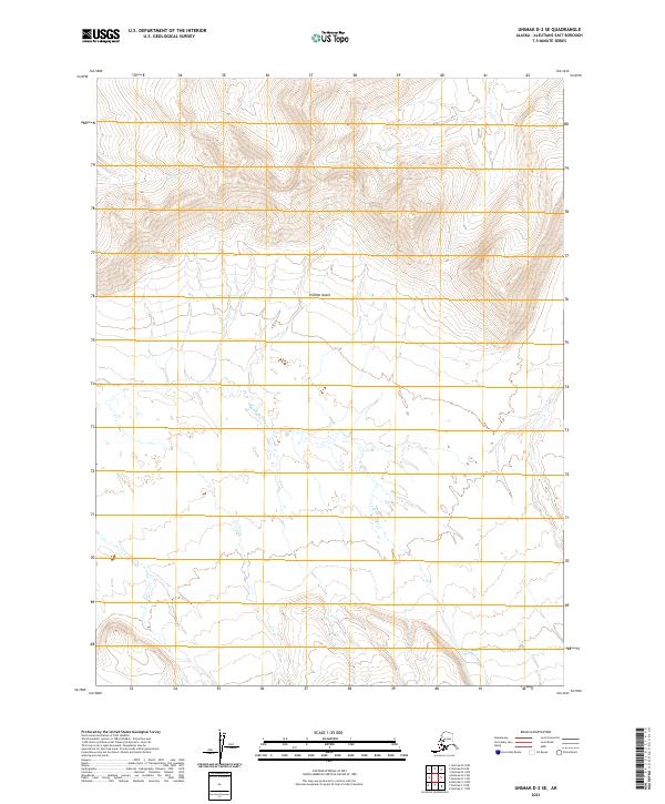
2021 · Unimak D-2 SE
USGS Topo · 1:25,000
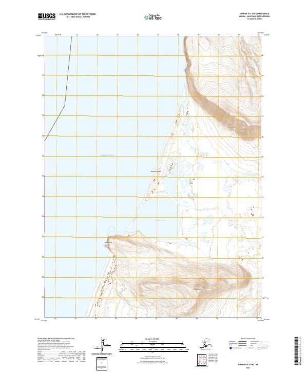
2021 · Unimak D-2 SW
USGS Topo · 1:25,000
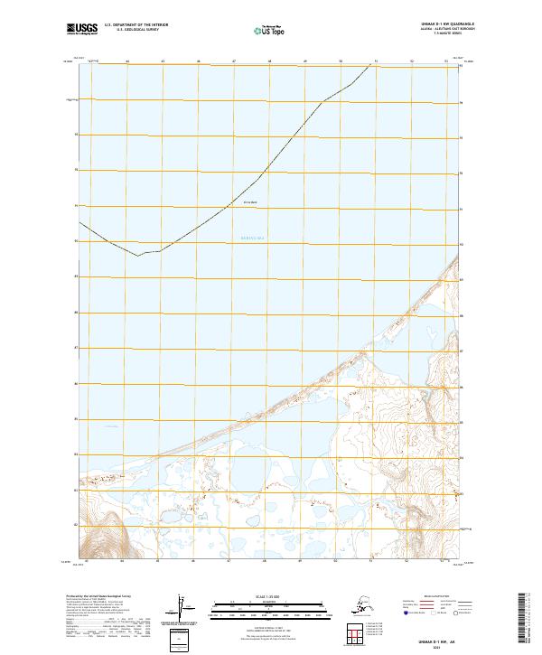
2021 · Unimak D-1 NW
USGS Topo · 1:25,000
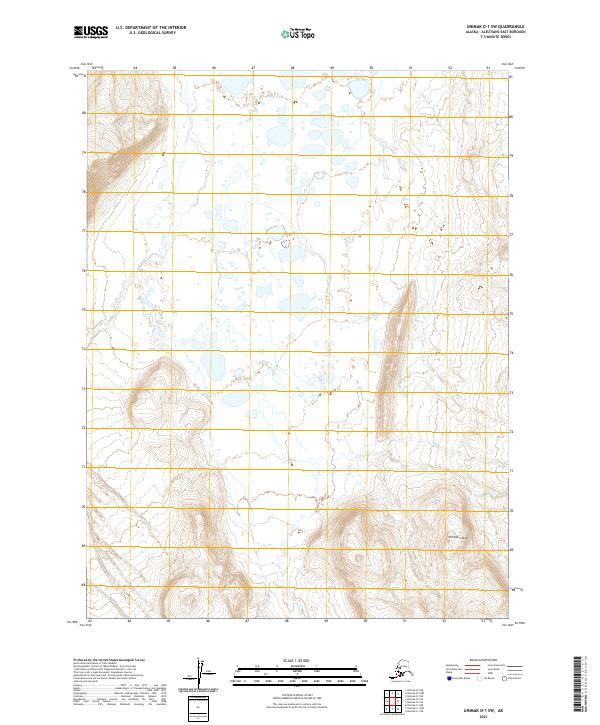
2021 · Unimak D-1 SW
USGS Topo · 1:25,000
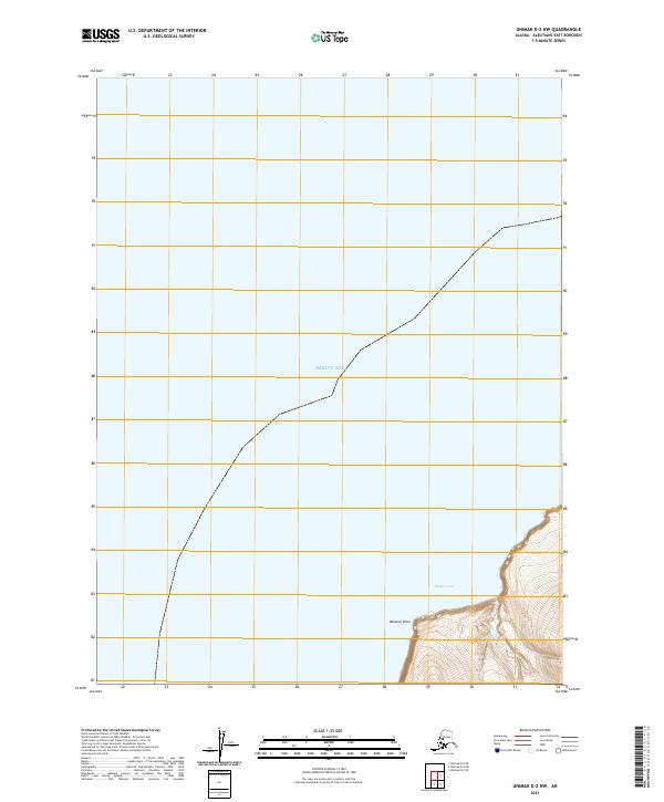
2021 · Unimak D-2 NW
USGS Topo · 1:25,000