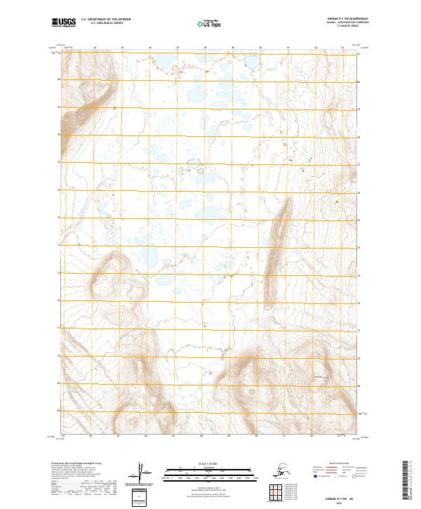
2021 Map of Unimak D-1 SW
USGS Topo · Published 2021About this map
Unimak Island serves as the primary landmass in this 2021 topographic study of the Aleutians East Borough. The landscape is defined by an intricate network of coastal wetlands and small water bodies that dominate the low-lying northern sections of the quadrangle. As the terrain moves south and west, the contours rise sharply, indicating the steep slopes of the island's volcanic or mountainous interior. This modern survey, produced by the U.S. Geological Survey, utilizes high-resolution imagery and the North American Datum of 1983 to document the shifting hydrography of this isolated Alaskan environment. The map provides a precise layout of the Public Land Survey System, showing the divisions of Township 61 South through Township 63 South across Ranges 99 and 100 West.
Find a feature on this map
7 named features on this map. Tap any name to fly to it.
Don’t see what you’re looking for? This feature index may not catch every label — zoom into the map to look around manually.
Map Details
Editions of this 2021 Unimak D-1 SW Map
This is the sole edition of this map. No revisions or reprints were ever made.
Other maps of this area

1951 · Unimak
USGS Topo · 1:250,000

1958 · Unimak
USGS Topo · 1:250,000

1989 · Unimak C-1
USGS Topo · 1:63,360
1989 · Unimak D-2
USGS Topo · 1:63,360
1989 · Unimak D-1
USGS Topo · 1:63,360
1989 · Unimak C-2
USGS Topo · 1:63,360
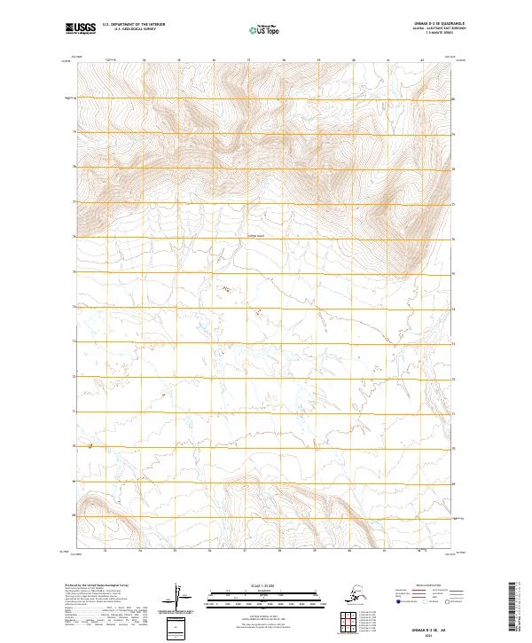
2021 · Unimak D-2 SE
USGS Topo · 1:25,000
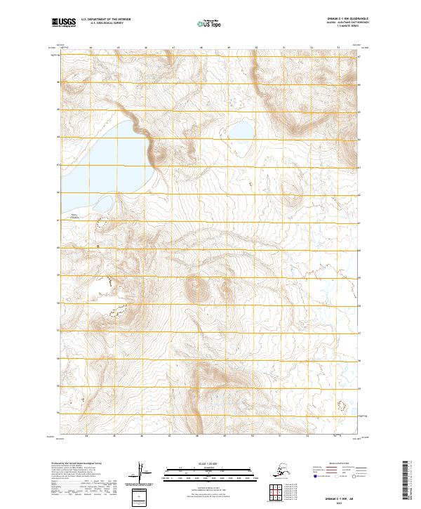
2021 · Unimak C-1 NW
USGS Topo · 1:25,000
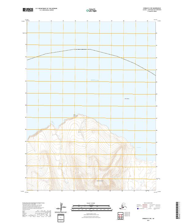
2021 · Unimak D-2 NE
USGS Topo · 1:25,000
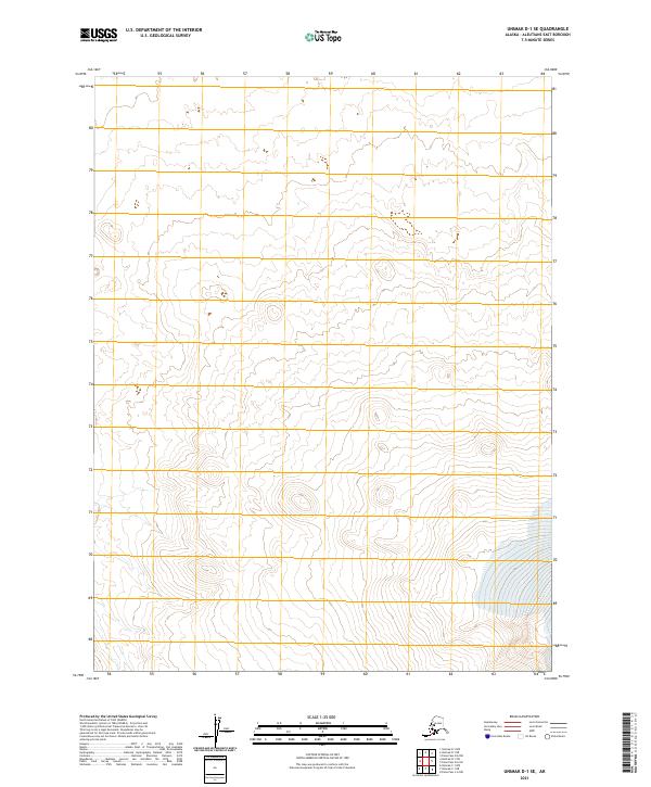
2021 · Unimak D-1 SE
USGS Topo · 1:25,000