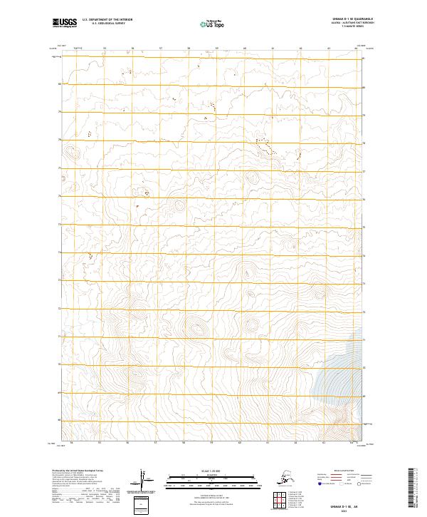
2021 Map of Unimak D-1 SE
USGS Topo · Published 2021About this map
The Aleutians East Borough landscape in this 2021 survey is defined by the rigid grid of the Public Land Survey System, which imposes a human order on the remote Alaskan terrain. Covering several townships including T61s R99w, T61s R98w, and T62s R99w, the map shows a region devoid of roads, settlements, or named geographic features. The lack of standard labels beyond the township and range designations, such as T63s R98w, underscores the isolation of Unimak Island during the early twenty-first century. For the researcher or cartographer, this map illustrates the pure intersection of topographic contouring and cadastral boundaries in one of the most distant reaches of the United States.
Find a feature on this map
6 named features on this map. Tap any name to fly to it.
Don’t see what you’re looking for? This feature index may not catch every label — zoom into the map to look around manually.
Map Details
Editions of this 2021 Unimak D-1 SE Map
This is the sole edition of this map. No revisions or reprints were ever made.
Other maps of this area

1949 · False Pass
USGS Topo · 1:250,000

1950 · False Pass
USGS Topo · 1:250,000

1951 · Unimak
USGS Topo · 1:250,000

1958 · Unimak
USGS Topo · 1:250,000

1989 · Unimak C-1
USGS Topo · 1:63,360
1989 · False Pass C-6
USGS Topo · 1:63,360
1989 · Unimak D-1
USGS Topo · 1:63,360
1989 · False Pass D-6
USGS Topo · 1:63,360
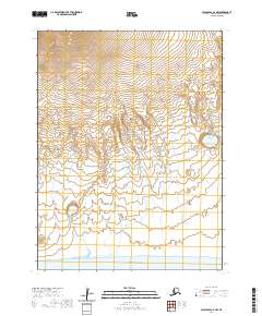
2020 · False Pass C-6 NW
USGS Topo · 1:25,000
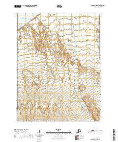
2020 · False Pass D-6 NW
USGS Topo · 1:25,000