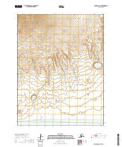
2020 Map of False Pass C-6 NW
USGS Topo · Published 2020About this map
Unimak Island serves as the focal point of this remote maritime landscape within the Aleutian Islands chain. The survey reveals a coastal environment where high-altitude glacier or snow fields dominate the northern interior, feeding numerous unnamed drainage systems that carve through the terrain toward the south. Along the southwestern coastline, Conical Red Hill stands as a distinct landmark overlooking the expansive Pacific Ocean. This 2020 edition detail illustrates the raw volcanic and glacial topography of the region, emphasizing the isolation and geographic character of one of Alaska's most westerly landmasses. The lack of infrastructure or modern settlements highlights the protected and wild nature of the Aleutians East Borough during this era.
Find a feature on this map
8 named features on this map. Tap any name to fly to it.
Don’t see what you’re looking for? This feature index may not catch every label — zoom into the map to look around manually.
Map Details
Editions of this 2020 False Pass C-6 NW Map
This is the sole edition of this map. No revisions or reprints were ever made.
Other maps of this area

1949 · False Pass
USGS Topo · 1:250,000

1950 · False Pass
USGS Topo · 1:250,000

1951 · Unimak
USGS Topo · 1:250,000

1958 · Unimak
USGS Topo · 1:250,000

1989 · Unimak C-1
USGS Topo · 1:63,360
1989 · False Pass C-6
USGS Topo · 1:63,360
1989 · Unimak D-1
USGS Topo · 1:63,360
1989 · False Pass D-6
USGS Topo · 1:63,360
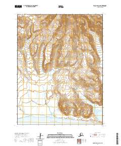
2020 · False Pass C-6 NE
USGS Topo · 1:25,000
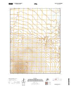
2020 · False Pass D-6 SW
USGS Topo · 1:25,000