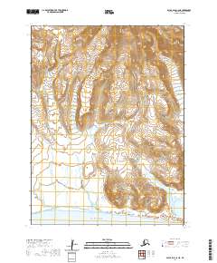
2020 Map of False Pass C-6 NE
USGS Topo · Published 2020About this map
Unimak Island dominates this portion of the Aleutian Islands, where the land rises sharply from the Pacific Ocean toward volcanic summits. The terrain is defined by dramatic elevation changes, centered around the prominent Brown Peak in the southern portion of the sheet. In the northeast, the Lazaref River cuts through the high ground, illustrating the drainage patterns of this maritime environment. This modern survey from 2020 documents the raw topography and township-range boundaries of the eastern Aleutians, showing a landscape shaped by coastal proximity and geothermal activity without the presence of established roads or permanent settlements. It is an essential reference for understanding the physical geography of the island chain's largest landmass.
Find a feature on this map
9 named features on this map. Tap any name to fly to it.
Don’t see what you’re looking for? This feature index may not catch every label — zoom into the map to look around manually.
Map Details
Editions of this 2020 False Pass C-6 NE Map
This is the sole edition of this map. No revisions or reprints were ever made.
Other maps of this area

1949 · False Pass
USGS Topo · 1:250,000

1950 · False Pass
USGS Topo · 1:250,000
1989 · False Pass C-6
USGS Topo · 1:63,360
1989 · False Pass C-5
USGS Topo · 1:63,360
1989 · False Pass D-6
USGS Topo · 1:63,360
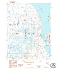
1995 · False Pass D-5
USGS Topo · 1:63,360

2020 · False Pass C-5 SW
USGS Topo · 1:25,000
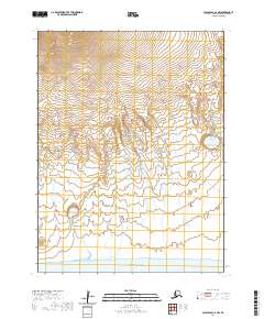
2020 · False Pass C-6 NW
USGS Topo · 1:25,000
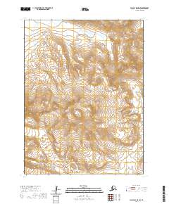
2020 · False Pass D-5 SW
USGS Topo · 1:25,000
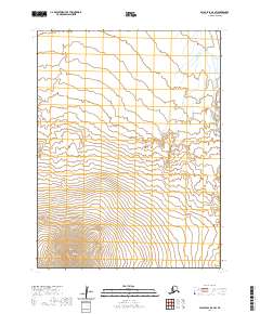
2020 · False Pass D-6 SW
USGS Topo · 1:25,000