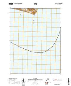
2020 Map of False Pass C-5 SW
USGS Topo · Published 2020About this map
Unimak Island serves as the focal point of this coastal study, showing the southeastern shoreline where the land meets the vast Pacific Ocean. The geography here is defined by treacherous maritime hazards and prominent coastal landmarks, including the jutting point of Cape Lazaref and the nearby Lazaref Reef. Just offshore, the map identifies isolated hazards like North Pinnacle Rock, South Pinnacle Rock, and Rock Island. These features are critical markers for navigation in the Aleutian Islands chain. The interior of the island is mapped with detailed contours, illustrating the rise of the land from the sea within the administrative boundaries of t64s r96w and t64s r95w. This area remains largely undeveloped, preserving a landscape where the primary human interest lies in nautical safety and environmental monitoring.
Find a feature on this map
10 named features on this map. Tap any name to fly to it.
Don’t see what you’re looking for? This feature index may not catch every label — zoom into the map to look around manually.
Map Details
Editions of this 2020 False Pass C-5 SW Map
This is the sole edition of this map. No revisions or reprints were ever made.
Other maps of this area

1949 · False Pass
USGS Topo · 1:250,000

1950 · False Pass
USGS Topo · 1:250,000
1989 · False Pass C-6
USGS Topo · 1:63,360
1989 · False Pass C-5
USGS Topo · 1:63,360
2020 · False Pass C-5 SE
USGS Topo · 1:25,000
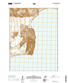
2020 · False Pass C-5 NE
USGS Topo · 1:25,000
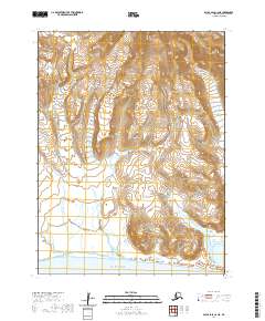
2020 · False Pass C-6 NE
USGS Topo · 1:25,000
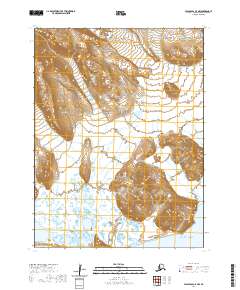
2020 · False Pass C-5 NW
USGS Topo · 1:25,000