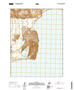
2020 Map of False Pass C-5 NE
USGS Topo · Published 2020About this map
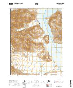
Unimak Island, the largest in the Aleutian Islands chain, dominates this 2020 coastal survey. The map details the rugged eastern shoreline of the island where it meets the Pacific Ocean, characterized by steep elevation contours that rise sharply from the water's edge. Notable maritime landmarks include Cape Aksit and the offshore Prominent Rock, which serve as critical navigation points along this stretch of the North Pacific. Further north, the indentation of Otter Cove provides a break in the coastline. This map illustrates the intersection of high-relief volcanic terrain and the sea, documenting a portion of the island largely devoid of modern infrastructure or permanent settlements, focusing instead on the topographic character of the Alaska Peninsula region.
Find a feature on this map
6 named features on this map. Tap any name to fly to it.
Don’t see what you’re looking for? This feature index may not catch every label — zoom into the map to look around manually.
Map Details
Editions of this 2020 False Pass C-5 NE Map
This is the sole edition of this map. No revisions or reprints were ever made.
Other maps of this area

1949 · False Pass
USGS Topo · 1:250,000

1950 · False Pass
USGS Topo · 1:250,000
1989 · False Pass C-4
USGS Topo · 1:63,360
1989 · False Pass C-5
USGS Topo · 1:63,360
1995 · False Pass D-5
USGS Topo · 1:63,360
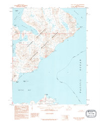
1995 · False Pass D-4
USGS Topo · 1:63,360
2020 · False Pass C-5 SE
USGS Topo · 1:25,000
2020 · False Pass C-5 SW
USGS Topo · 1:25,000
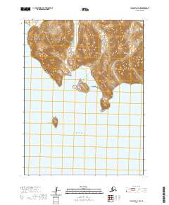
2020 · False Pass C-4 NW
USGS Topo · 1:25,000
2020 · False Pass D-5 SE
USGS Topo · 1:25,000