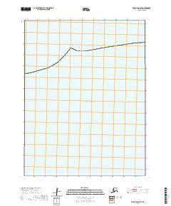
2020 Map of False Pass C-5 SE
USGS Topo · Published 2020About this map
The Pacific Ocean dominates this maritime expanse within the Aleutians East Borough, showing the open waters south of the Aleutian Islands. This 2020 digital survey highlights the vast aquatic geography and the Public Land Survey System grid lines that extend across the sea. The map defines the boundaries between T64s R95w and T64s R94w, providing a precise geographic framework for an area otherwise devoid of terrestrial landmarks or human settlements. It serves as a stark illustration of the remote maritime reaches of southwestern Alaska where survey townships transition from the rugged islands into the deep ocean.
Find a feature on this map
21 named features on this map. Tap any name to fly to it.
Don’t see what you’re looking for? This feature index may not catch every label — zoom into the map to look around manually.
Map Details
Editions of this 2020 False Pass C-5 SE Map
This is the sole edition of this map. No revisions or reprints were ever made.
Other maps of this area

1949 · False Pass
USGS Topo · 1:250,000

1950 · False Pass
USGS Topo · 1:250,000
1989 · False Pass C-4
USGS Topo · 1:63,360
1989 · False Pass C-5
USGS Topo · 1:63,360
2020 · False Pass C-5 NE
USGS Topo · 1:25,000
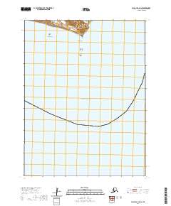
2020 · False Pass C-5 SW
USGS Topo · 1:25,000
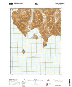
2020 · False Pass C-4 NW
USGS Topo · 1:25,000
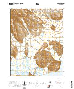
2020 · False Pass C-5 NW
USGS Topo · 1:25,000