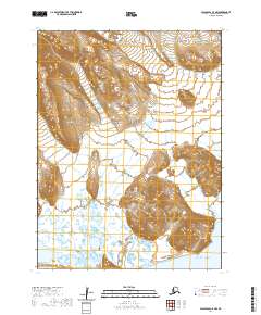
2020 Map of False Pass C-5 NW
USGS Topo · Published 2020About this map
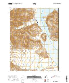
Unimak Island's coastal and volcanic topography is the focus of this recent survey within the Aleutian Islands chain. The landscape is dominated by the steep, rising elevation of Lazaref Peak in the southeast, which stands as a prominent landmark overlooking the Pacific Ocean. The Lazaref River drains the central and southern reaches of this terrain, cutting through the island's lowlands before reaching the coast.
Find a feature on this map
9 named features on this map. Tap any name to fly to it.
Don’t see what you’re looking for? This feature index may not catch every label — zoom into the map to look around manually.
Map Details
Editions of this 2020 False Pass C-5 NW Map
This is the sole edition of this map. No revisions or reprints were ever made.
Other maps of this area

1949 · False Pass
USGS Topo · 1:250,000

1950 · False Pass
USGS Topo · 1:250,000
1989 · False Pass C-6
USGS Topo · 1:63,360
1989 · False Pass C-5
USGS Topo · 1:63,360
1989 · False Pass D-6
USGS Topo · 1:63,360
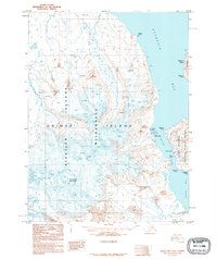
1995 · False Pass D-5
USGS Topo · 1:63,360
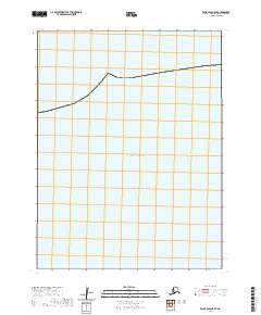
2020 · False Pass C-5 SE
USGS Topo · 1:25,000
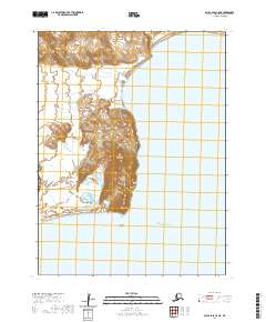
2020 · False Pass C-5 NE
USGS Topo · 1:25,000
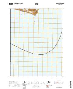
2020 · False Pass C-5 SW
USGS Topo · 1:25,000
2020 · False Pass D-5 SE
USGS Topo · 1:25,000