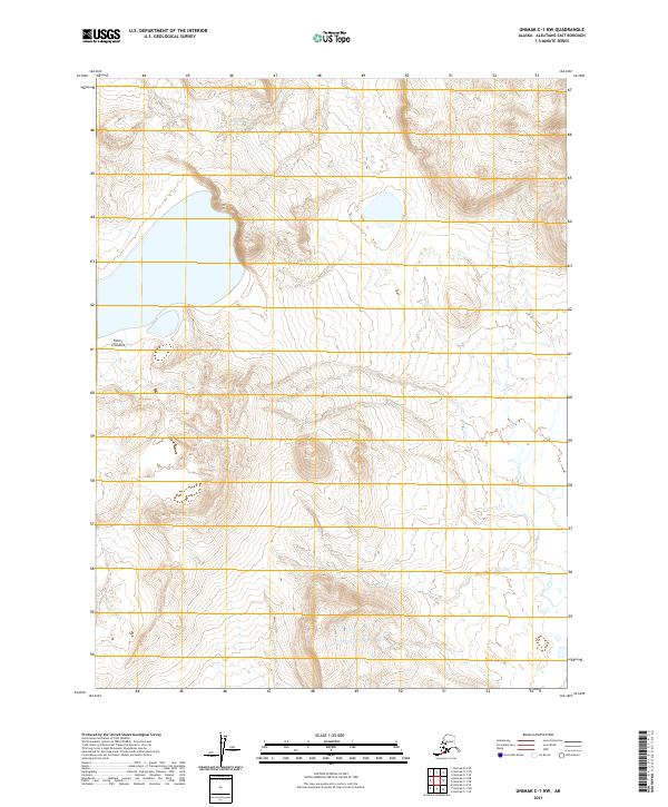
2021 Map of Unimak C-1 NW
USGS Topo · Published 2021About this map
Fisher Caldera dominates this section of Unimak Island in the Aleutians East Borough, where the volcanic topography of the Aleutian Range is meticulously documented by the U.S. Geological Survey. The 2021 data emphasizes the island's complex geomorphology, showing the drainage patterns and significant elevation changes across the caldera floor. Surveyed using Spot imagery and the National Elevation Dataset, the map provides precise contour intervals that trace the interior and exterior slopes of this massive volcanic feature. The grid system includes divisions for t63s r100w and t64s r100w, offering a structural look at the land management boundaries in this uninhabited maritime environment. This map is a critical record for understanding the modern physical geography of the island at the edge of the Bering Sea.
Find a feature on this map
5 named features on this map. Tap any name to fly to it.
Don’t see what you’re looking for? This feature index may not catch every label — zoom into the map to look around manually.
Map Details
Editions of this 2021 Unimak C-1 NW Map
This is the sole edition of this map. No revisions or reprints were ever made.
Other maps of this area

1951 · Unimak
USGS Topo · 1:250,000

1958 · Unimak
USGS Topo · 1:250,000

1989 · Unimak C-1
USGS Topo · 1:63,360
1989 · Unimak D-2
USGS Topo · 1:63,360
1989 · Unimak D-1
USGS Topo · 1:63,360
1989 · Unimak C-2
USGS Topo · 1:63,360
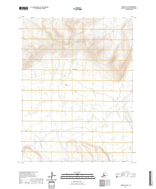
2021 · Unimak D-2 SE
USGS Topo · 1:25,000
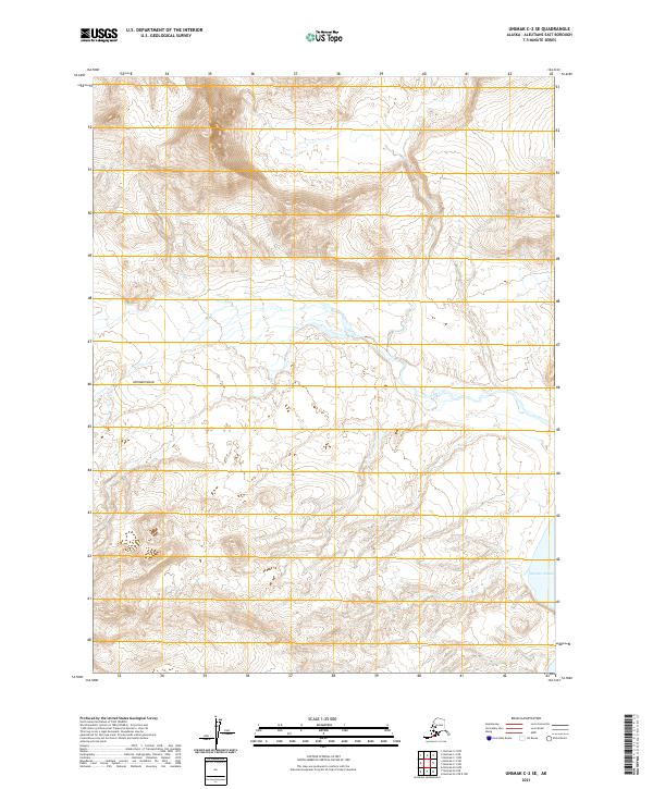
2021 · Unimak C-2 SE
USGS Topo · 1:25,000
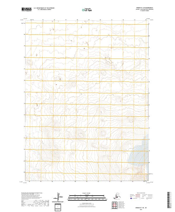
2021 · Unimak D-1 SE
USGS Topo · 1:25,000
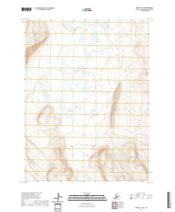
2021 · Unimak D-1 SW
USGS Topo · 1:25,000