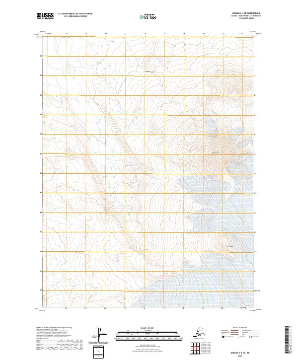
2021 Map of Unimak C-3 SE
USGS Topo · Published 2021About this map
Pogromni Volcano dominates the high-altitude topography of this portion of Unimak Island in the Aleutians. The survey captures the stark relief between the volcanic heights and the drainage patterns that define the island's interior, most notably along the course of Beartrack Cr. While much of the terrain is defined by the steep contours of the volcano and the neighboring Faris Peak, the map also provides a precise record of the Public Land Survey System township and range divisions, including t64s r103w and t65s r103w. These boundaries grid an otherwise wild landscape where hydrology and geology are the primary landmarks. The interaction between the glacial or volcanic runoff and the descent toward the coast is clearly legible in the braided or narrow tracks of the mountain streams.
Find a feature on this map
9 named features on this map. Tap any name to fly to it.
Don’t see what you’re looking for? This feature index may not catch every label — zoom into the map to look around manually.
Map Details
Editions of this 2021 Unimak C-3 SE Map
This is the sole edition of this map. No revisions or reprints were ever made.
Other maps of this area

1951 · Unimak
USGS Topo · 1:250,000

1958 · Unimak
USGS Topo · 1:250,000
1989 · Unimak B-3
USGS Topo · 1:63,360
1989 · Unimak B-2
USGS Topo · 1:63,360
1989 · Unimak C-2
USGS Topo · 1:63,360
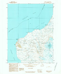
1989 · Unimak C-3
USGS Topo · 1:63,360
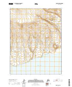
2020 · Unimak B-2 NW
USGS Topo · 1:25,000
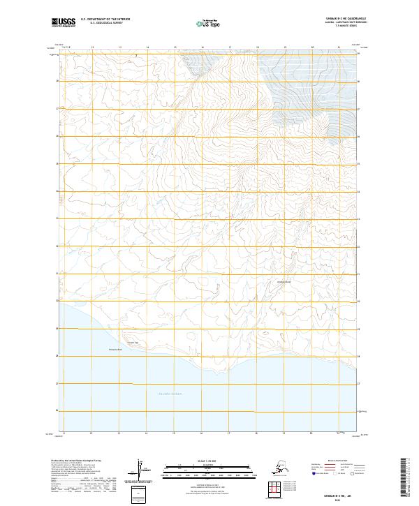
2021 · Unimak B-3 NE
USGS Topo · 1:25,000
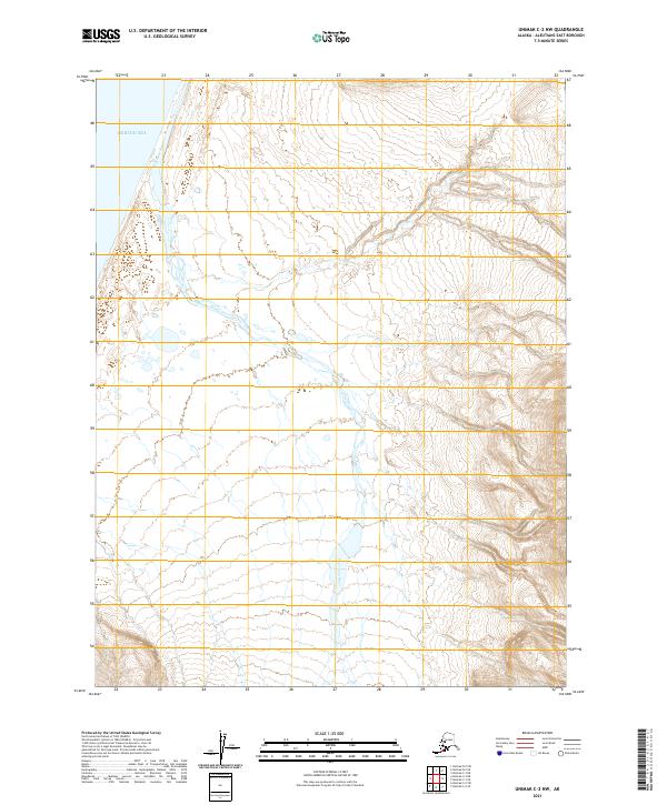
2021 · Unimak C-2 NW
USGS Topo · 1:25,000
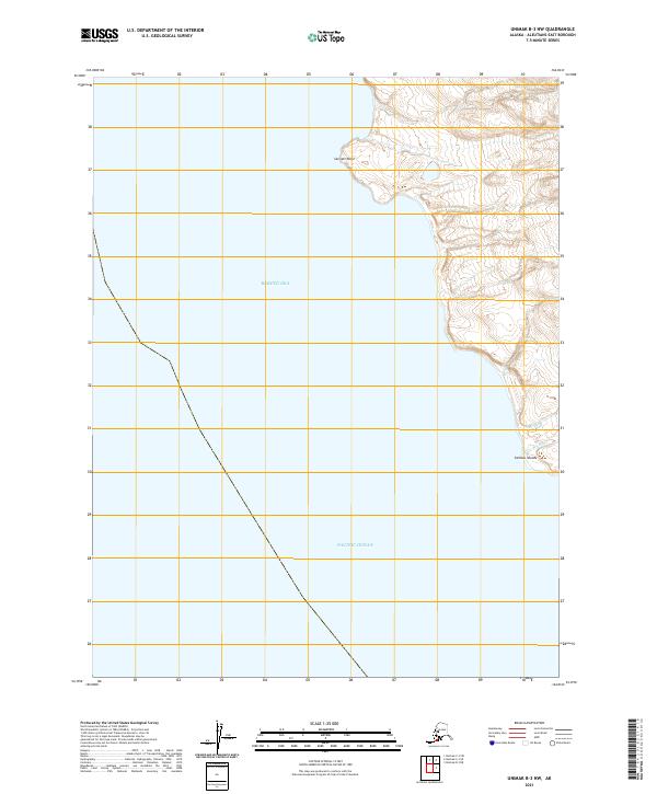
2021 · Unimak B-3 NW
USGS Topo · 1:25,000