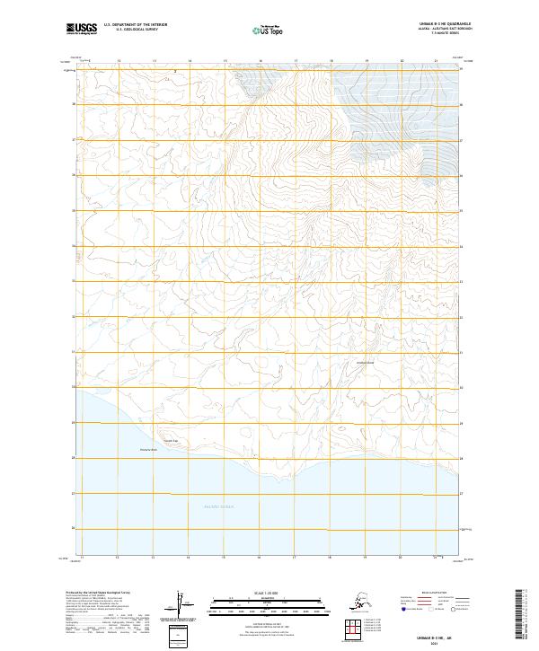
2021 Map of Unimak B-3 NE
USGS Topo · Published 2021About this map
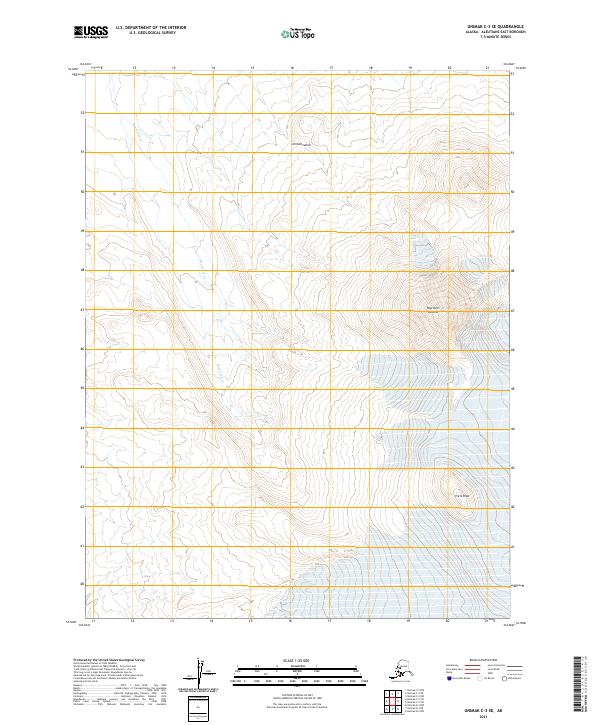
Unimak Island presents a rugged maritime landscape along the Aleutian chain, where the land meets the Pacific Ocean. This coastal section is defined by prominent topographical markers such as Scotch Cap and the offshore formation of Pinnacle Rock. The interior drainage is carved by numerous waterways, including the winding course of Big River, Mishap Cr, and Cap Cr. These features illustrate the raw geological forces at work on the island's southern shore. The map provides a precise view of the land-sea interface at this specific coordinates, capturing the intersection of tectonic and oceanic environments in the Aleutians East region.
Find a feature on this map
13 named features on this map. Tap any name to fly to it.
Don’t see what you’re looking for? This feature index may not catch every label — zoom into the map to look around manually.
Map Details
Editions of this 2021 Unimak B-3 NE Map
This is the sole edition of this map. No revisions or reprints were ever made.
Other maps of this area

1951 · Unimak
USGS Topo · 1:250,000

1958 · Unimak
USGS Topo · 1:250,000
1989 · Unimak B-3
USGS Topo · 1:63,360
1989 · Unimak B-2
USGS Topo · 1:63,360
1989 · Unimak C-2
USGS Topo · 1:63,360
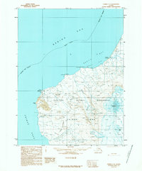
1989 · Unimak C-3
USGS Topo · 1:63,360
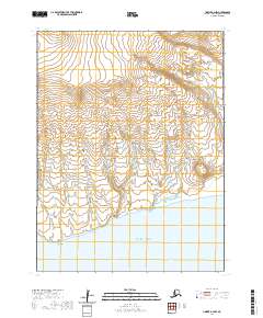
2020 · Unimak B-2 NW
USGS Topo · 1:25,000
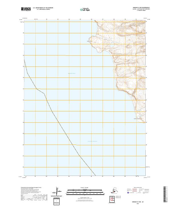
2021 · Unimak B-3 NW
USGS Topo · 1:25,000
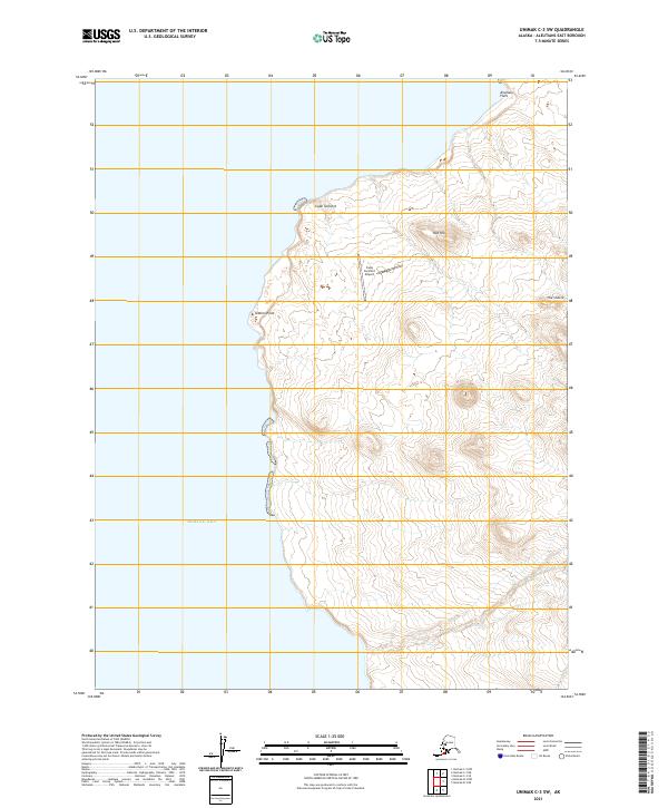
2021 · Unimak C-3 SW
USGS Topo · 1:25,000
2021 · Unimak C-3 SE
USGS Topo · 1:25,000