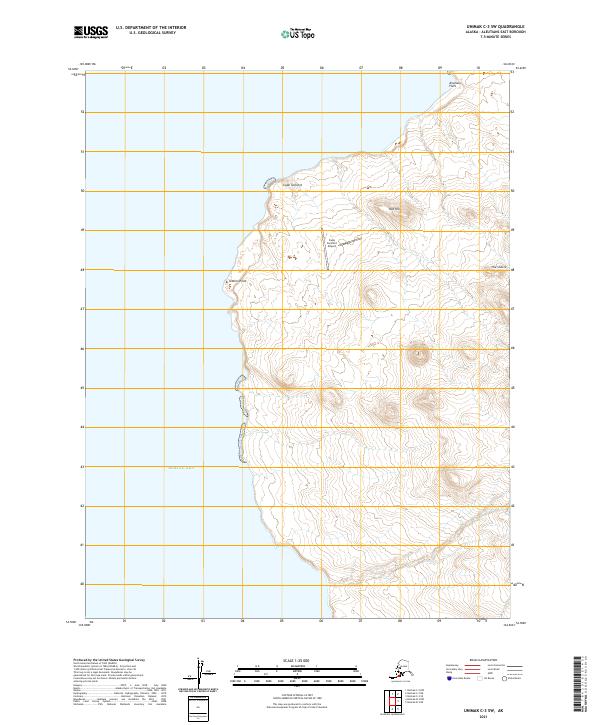
2021 Map of Unimak C-3 SW
USGS Topo · Published 2021About this map
Cape Sarichef stands as the primary navigational and logistical anchor on this Aleutian landscape, where the Bering Sea meets the western edge of Unimak Island. The terrain is defined by distinct topographical markers such as Red Hill and the prominent coastal feature of Sealion Point. The presence of the Cape Sarichef Airport near the coast highlights the isolation of this region, serving as a vital link for transportation and supply in a landscape otherwise dominated by the natural features of Airplane Flats and The Sisters. This 2021 survey by the U.S. Geological Survey provides a precise record of the shoreline and elevation changes in a remote maritime environment, detailing the relationship between the coastal lowlands and the rising interior peaks during the early twenty-first century.
Find a feature on this map
10 named features on this map. Tap any name to fly to it.
Don’t see what you’re looking for? This feature index may not catch every label — zoom into the map to look around manually.
Map Details
Editions of this 2021 Unimak C-3 SW Map
This is the sole edition of this map. No revisions or reprints were ever made.
Other maps of this area

1951 · Unimak
USGS Topo · 1:250,000

1958 · Unimak
USGS Topo · 1:250,000
1989 · Unimak B-3
USGS Topo · 1:63,360
1989 · Unimak C-3
USGS Topo · 1:63,360
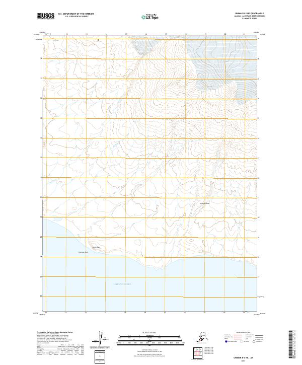
2021 · Unimak B-3 NE
USGS Topo · 1:25,000
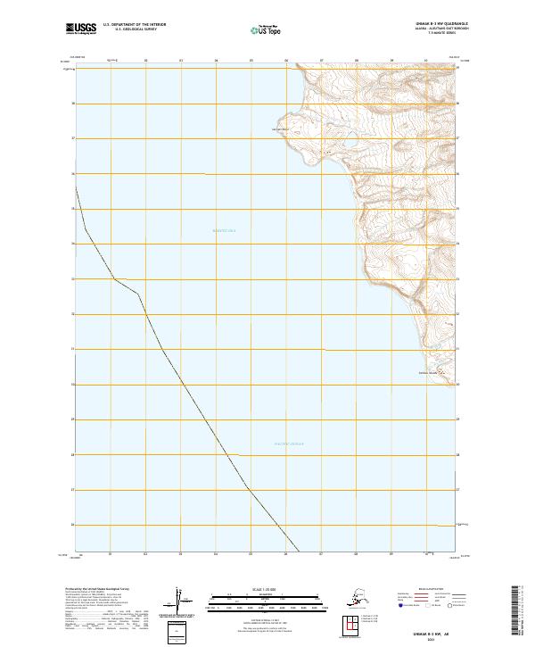
2021 · Unimak B-3 NW
USGS Topo · 1:25,000
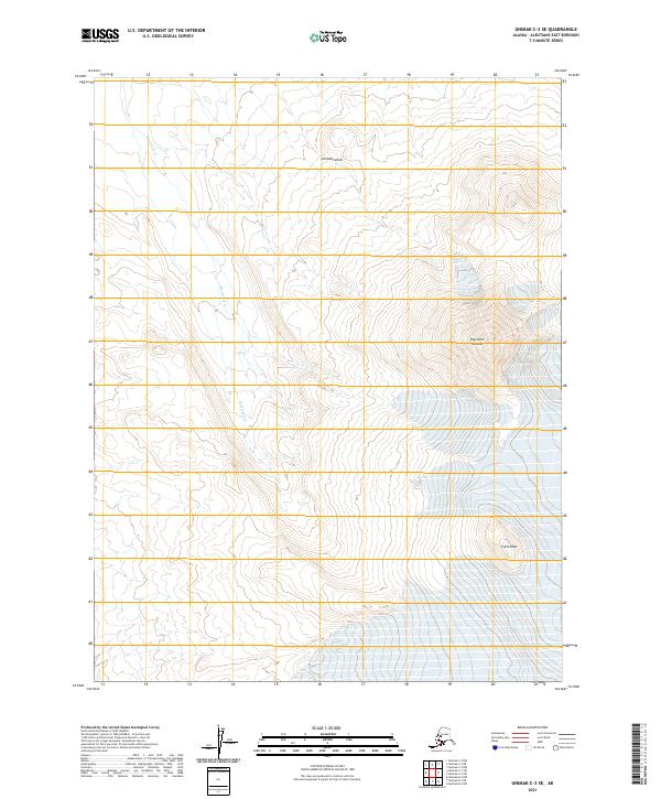
2021 · Unimak C-3 SE
USGS Topo · 1:25,000
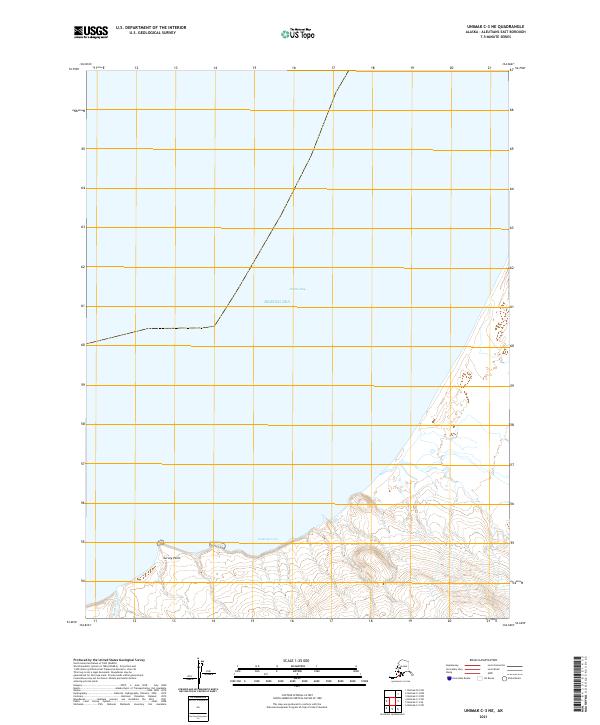
2021 · Unimak C-3 NE
USGS Topo · 1:25,000
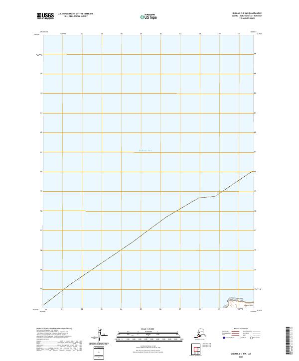
2021 · Unimak C-3 NW
USGS Topo · 1:25,000