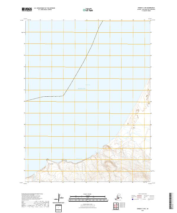
2021 Map of Unimak C-3 NE
USGS Topo · Published 2021About this map
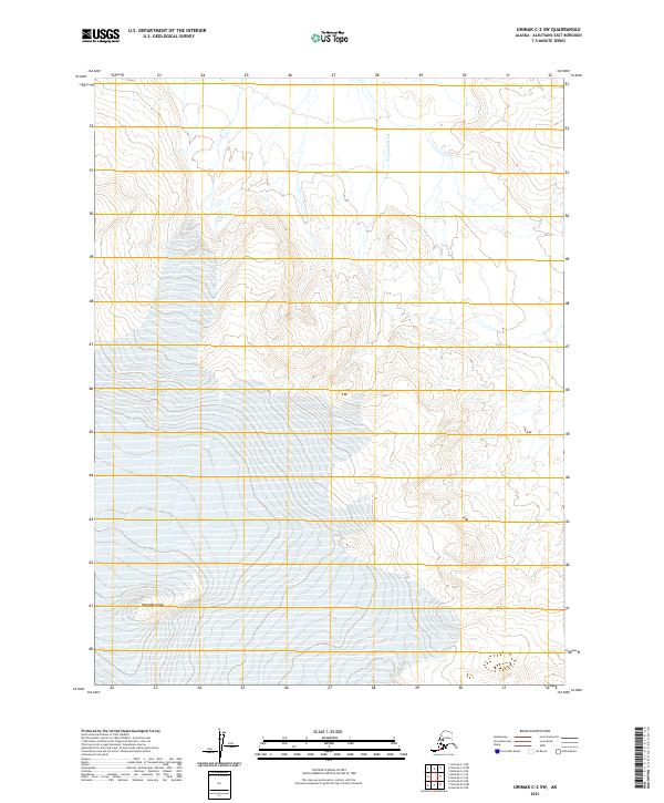
The remote Aleutian coastline meets the Bering Sea in this 2021 topographic study of the Unimak C-3 NE region. The landscape is defined by the sharp transition from open water to the rugged terrain of the Aleutians East Borough, where the coastline is notched by the waters of Dublin Bay and the more sheltered Cataract Cove. Further inland, the map captures the drainage of Beartrack Cr as it flows toward the coast near Survey Point. This modern survey provides a detailed look at the topographic contours and hydrography of an area primarily characterized by its wild, unpopulated maritime environment and complex coastal geology.
Find a feature on this map
11 named features on this map. Tap any name to fly to it.
Don’t see what you’re looking for? This feature index may not catch every label — zoom into the map to look around manually.
Map Details
Editions of this 2021 Unimak C-3 NE Map
This is the sole edition of this map. No revisions or reprints were ever made.
Other maps of this area

1951 · Unimak
USGS Topo · 1:250,000

1958 · Unimak
USGS Topo · 1:250,000
1989 · Unimak D-2
USGS Topo · 1:63,360
1989 · Unimak C-2
USGS Topo · 1:63,360
1989 · Unimak C-3
USGS Topo · 1:63,360
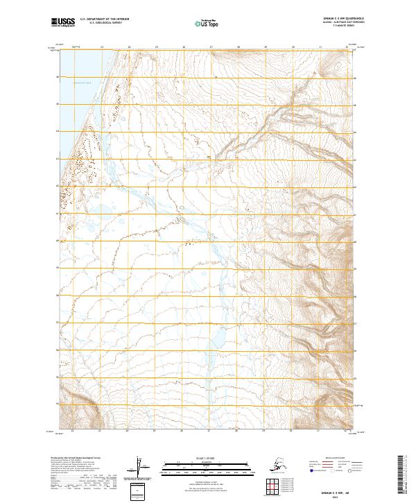
2021 · Unimak C-2 NW
USGS Topo · 1:25,000
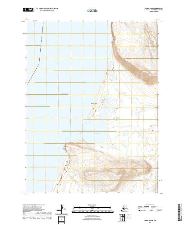
2021 · Unimak D-2 SW
USGS Topo · 1:25,000
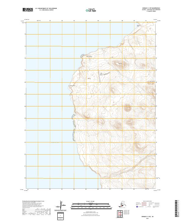
2021 · Unimak C-3 SW
USGS Topo · 1:25,000
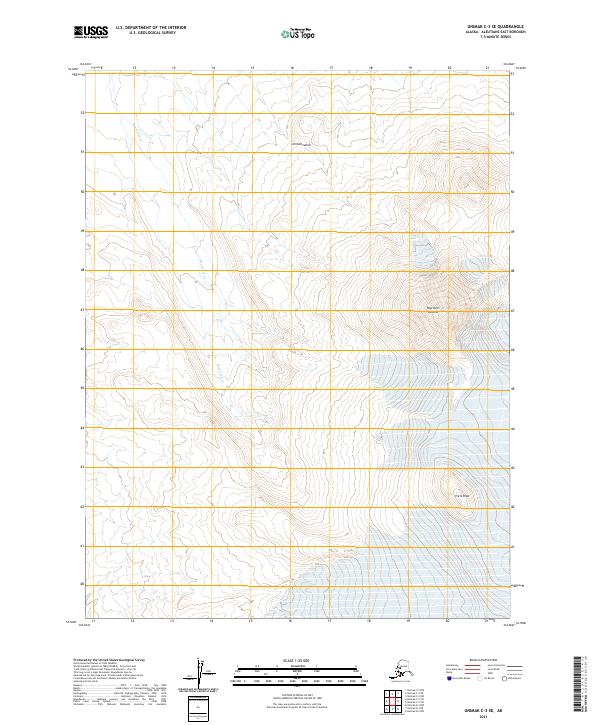
2021 · Unimak C-3 SE
USGS Topo · 1:25,000
2021 · Unimak C-2 SW
USGS Topo · 1:25,000