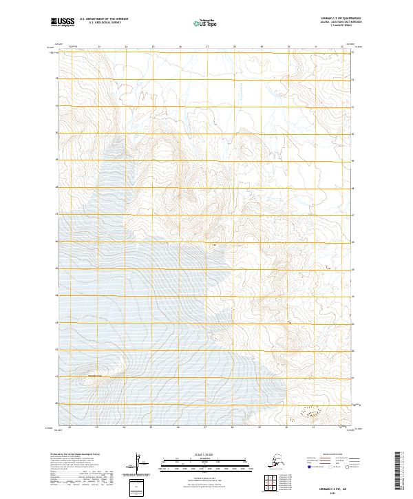
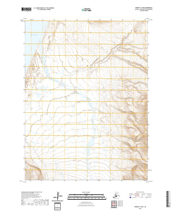
2021 Map of Unimak C-2 SW
USGS Topo · Published 2021About this map
Westdahl Peak anchors the southern portion of this topographical study within the Aleutian range, where steep volcanic slopes drop away toward the sea. The landscape is defined by the high-elevation contours of this active terrain, captured here in modern detail. Along the northern reaches, the Pogromni River drains the mountain's flanks, cutting through a remote and unpopulated expanse of the Aleutians East Borough. The map's detail focuses primarily on the dramatic elevation changes and natural drainage patterns of Unimak Island, illustrating the stark environmental forces that shape this part of the Alaska Peninsula.
Find a feature on this map
6 named features on this map. Tap any name to fly to it.
Don’t see what you’re looking for? This feature index may not catch every label — zoom into the map to look around manually.
Map Details
Editions of this 2021 Unimak C-2 SW Map
This is the sole edition of this map. No revisions or reprints were ever made.
Other maps of this area

1951 · Unimak
USGS Topo · 1:250,000

1958 · Unimak
USGS Topo · 1:250,000
1958 · Unimak B-2 NE
USGS Topo · 1:25,000
1989 · Unimak B-3
USGS Topo · 1:63,360
1989 · Unimak B-2
USGS Topo · 1:63,360
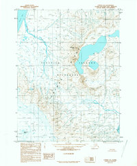
1989 · Unimak C-2
USGS Topo · 1:63,360
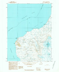
1989 · Unimak C-3
USGS Topo · 1:63,360
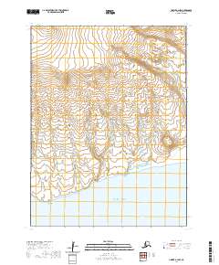
2020 · Unimak B-2 NW
USGS Topo · 1:25,000
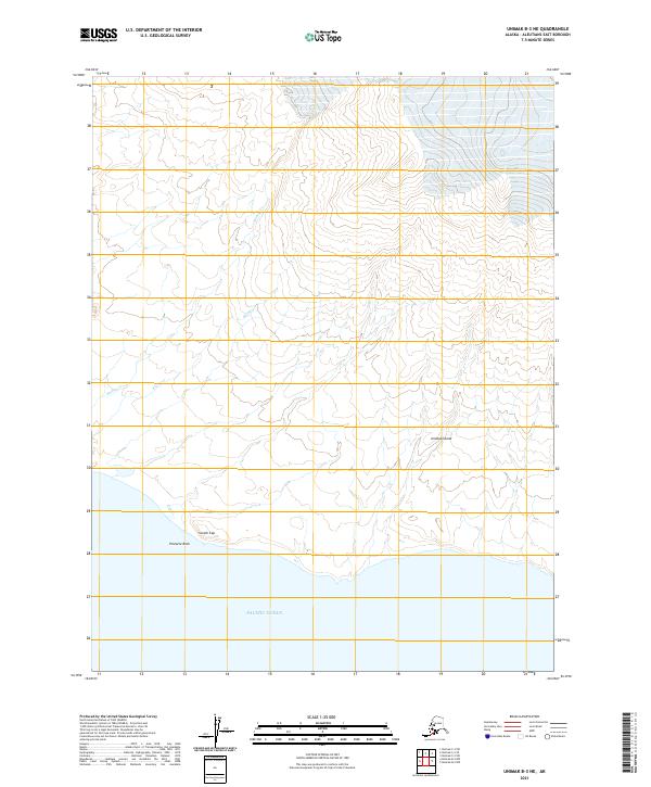
2021 · Unimak B-3 NE
USGS Topo · 1:25,000
2021 · Unimak C-2 NW
USGS Topo · 1:25,000