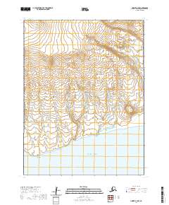
2020 Map of Unimak B-2 NW
USGS Topo · Published 2020About this map
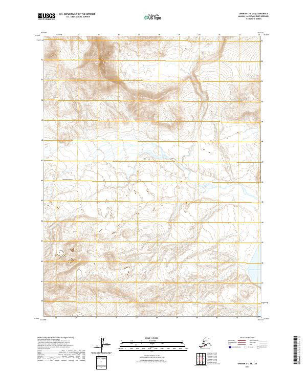
Promontory Hill stands as a significant landmark on this coastal portion of the Aleutians East Borough, where the southern reaches of the Alaska Peninsula meet the Pacific Ocean. This survey details the transition from the high interior elevations down to the shoreline features of Arch Point and Seal Cape. The landscape is primarily defined by its topographic relief and coastal geography, with no permanent settlements or infrastructure printed on the sheet. Instead, the map provides a precise look at the natural landforms and the established Public Land Survey System grid lines across townships such as t65s r102w and t67s r103w. It is a vital record of the uninhabited coastline as it appeared in the early 21st century.
Find a feature on this map
10 named features on this map. Tap any name to fly to it.
Don’t see what you’re looking for? This feature index may not catch every label — zoom into the map to look around manually.
Map Details
Editions of this 2020 Unimak B-2 NW Map
This is the sole edition of this map. No revisions or reprints were ever made.
Other maps of this area

1951 · Unimak
USGS Topo · 1:250,000

1958 · Unimak
USGS Topo · 1:250,000
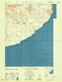
1958 · Unimak B-2 NE
USGS Topo · 1:25,000
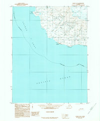
1989 · Unimak B-3
USGS Topo · 1:63,360
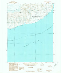
1989 · Unimak B-2
USGS Topo · 1:63,360
1989 · Unimak C-2
USGS Topo · 1:63,360
1989 · Unimak C-3
USGS Topo · 1:63,360
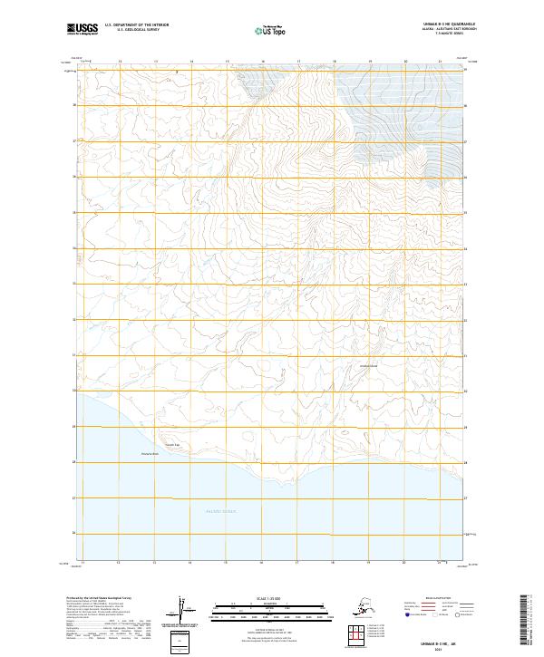
2021 · Unimak B-3 NE
USGS Topo · 1:25,000
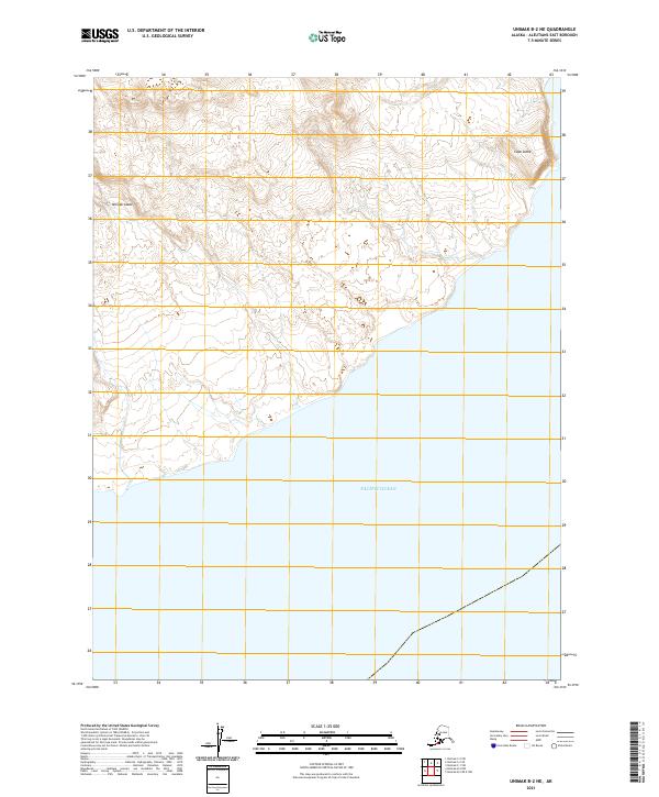
2021 · Unimak B-2 NE
USGS Topo · 1:25,000
2021 · Unimak C-2 SE
USGS Topo · 1:25,000