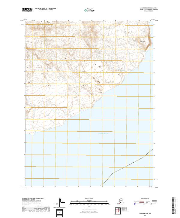
2021 Map of Unimak B-2 NE
USGS Topo · Published 2021About this map
Unimak Island marks this stretch of the Aleutian archipelago, where the landscape transitions from high interior slopes down to the southern coastline. This particular survey highlights the coastal topography near Cape Lutke, a prominent geographic feature where the land meets the Pacific Ocean. The map provides a detailed view of the terrain as it existed in 2021, illustrating the natural drainage patterns and elevation contours that define this island environment. There are no named settlements or roads indicated, reflecting the specialized and undeveloped nature of this maritime territory in the Aleutians East region. This record serves as a precise baseline for the island's southern shoreline before any future coastal shifts or environmental changes.
Find a feature on this map
9 named features on this map. Tap any name to fly to it.
Don’t see what you’re looking for? This feature index may not catch every label — zoom into the map to look around manually.
Map Details
Editions of this 2021 Unimak B-2 NE Map
This is the sole edition of this map. No revisions or reprints were ever made.
Other maps of this area

1951 · Unimak
USGS Topo · 1:250,000

1958 · Unimak
USGS Topo · 1:250,000
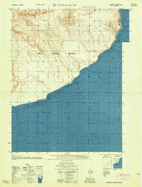
1958 · Unimak B-2 NE
USGS Topo · 1:25,000

1989 · Unimak C-1
USGS Topo · 1:63,360
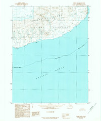
1989 · Unimak B-2
USGS Topo · 1:63,360
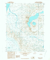
1989 · Unimak C-2
USGS Topo · 1:63,360
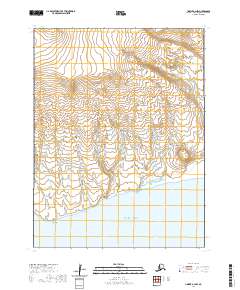
2020 · Unimak B-2 NW
USGS Topo · 1:25,000
2020 · Unimak B-2 OE E NW
USGS Topo · 1:25,000
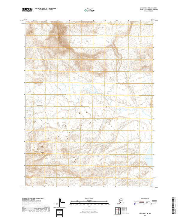
2021 · Unimak C-2 SE
USGS Topo · 1:25,000
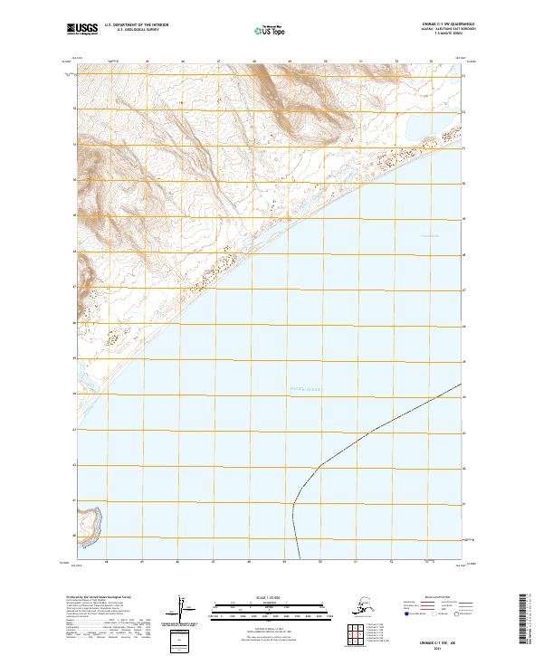
2021 · Unimak C-1 SW
USGS Topo · 1:25,000