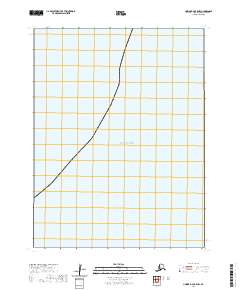
2020 Map of Unimak B-2 OE E NW
USGS Topo · Published 2020About this map
Pacific Ocean waters dominate this maritime survey of the Aleutian Islands region, capturing a remote section of the Alaskan coastline in the early twenty-first century. This specific quadrangle covers a stretch of sea and land where the T66s R100w and T66s R101w townships meet, illustrating the intersection of the Public Land Survey System with the North Pacific. The lack of terrestrial settlements or landmarks emphasizes the isolation of this Alaskan maritime boundary. Researchers of maritime history or geographers tracking township and range boundaries like T65s-R100w will find the exact coordinates of this coastal expanse useful for identifying specific nautical and shoreline positions in the Aleutians East Borough.
Find a feature on this map
6 named features on this map. Tap any name to fly to it.
Don’t see what you’re looking for? This feature index may not catch every label — zoom into the map to look around manually.
Map Details
Editions of this 2020 Unimak B-2 OE E NW Map
This is the sole edition of this map. No revisions or reprints were ever made.
Other maps of this area

1951 · Unimak
USGS Topo · 1:250,000

1958 · Unimak
USGS Topo · 1:250,000
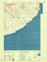
1958 · Unimak B-2 NE
USGS Topo · 1:25,000

1989 · Unimak C-1
USGS Topo · 1:63,360
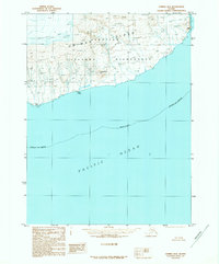
1989 · Unimak B-2
USGS Topo · 1:63,360
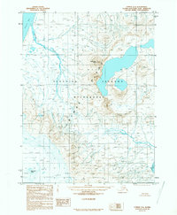
1989 · Unimak C-2
USGS Topo · 1:63,360
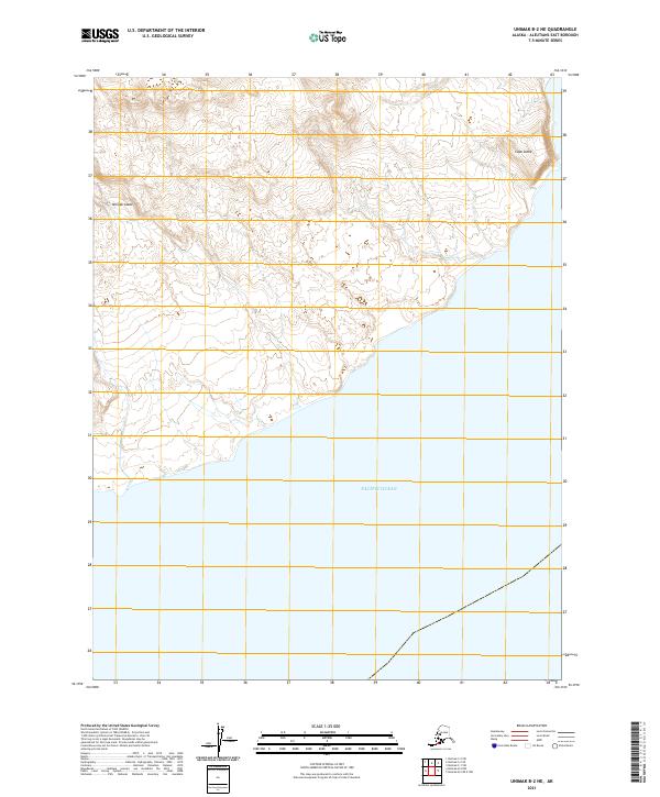
2021 · Unimak B-2 NE
USGS Topo · 1:25,000
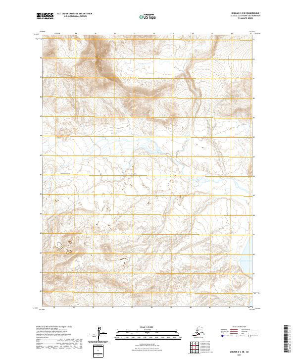
2021 · Unimak C-2 SE
USGS Topo · 1:25,000
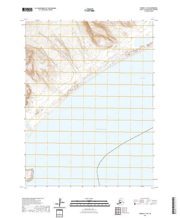
2021 · Unimak C-1 SW
USGS Topo · 1:25,000
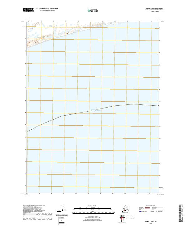
2021 · Unimak C-1 SE
USGS Topo · 1:25,000