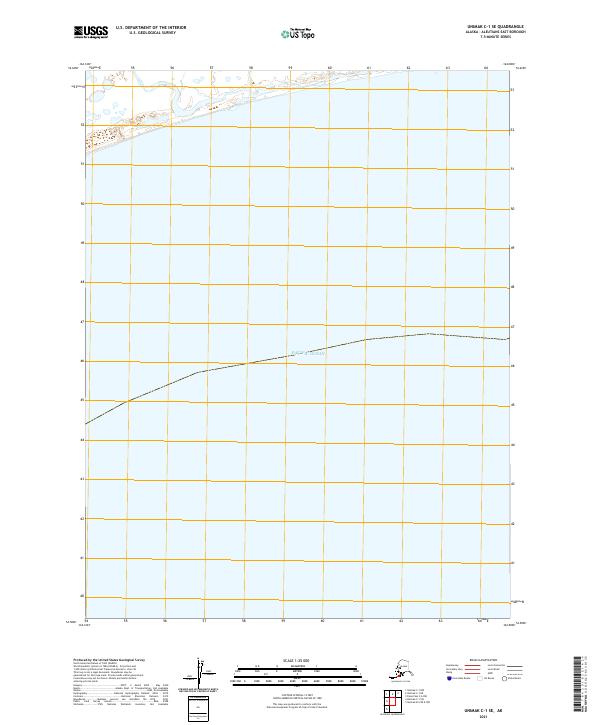
2021 Map of Unimak C-1 SE
USGS Topo · Published 2021About this map
The Pacific Ocean dominates this coastal region of the Aleutians East Borough, where the maritime environment meets the precise boundaries of the Public Land Survey System. Surveyed in 2021, the map provides a technical layout of several land divisions, including t64s r99w, t64s r98w, and t65s r100w. This area represents the vast, unpopulated maritime reaches of southwest Alaska, where the landscape is defined more by its offshore coordinates and administrative grid than by inland settlement. The minimal terrestrial features and extensive marine coverage highlight the remote character of the Unimak island chain in the early twenty-first century.
Find a feature on this map
4 named features on this map. Tap any name to fly to it.
Don’t see what you’re looking for? This feature index may not catch every label — zoom into the map to look around manually.
Map Details
Editions of this 2021 Unimak C-1 SE Map
This is the sole edition of this map. No revisions or reprints were ever made.
Other maps of this area

1949 · False Pass
USGS Topo · 1:250,000

1950 · False Pass
USGS Topo · 1:250,000

1951 · Unimak
USGS Topo · 1:250,000

1958 · Unimak
USGS Topo · 1:250,000

1989 · Unimak C-1
USGS Topo · 1:63,360
1989 · False Pass C-6
USGS Topo · 1:63,360
2020 · Unimak B-2 OE E NW
USGS Topo · 1:25,000
2020 · False Pass C-6 NW
USGS Topo · 1:25,000
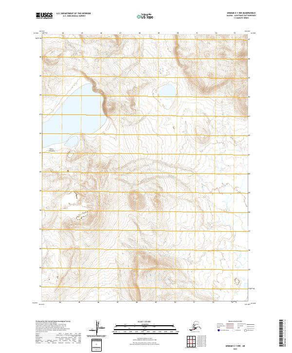
2021 · Unimak C-1 NW
USGS Topo · 1:25,000
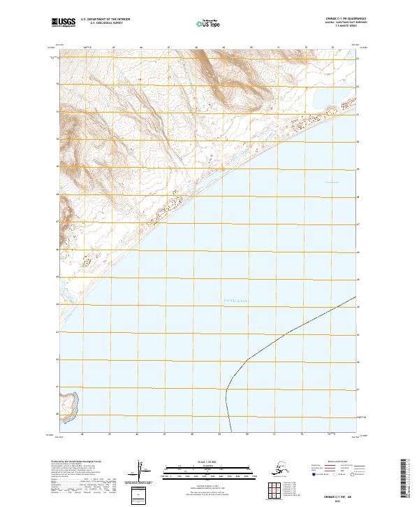
2021 · Unimak C-1 SW
USGS Topo · 1:25,000