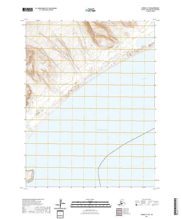
2021 Map of Unimak C-1 SW
USGS Topo · Published 2021About this map
The Pacific Ocean coastline dominates this 2021 topographic study of the Aleutians East Borough, where the land meets the sea at Unimak Bight. The terrain is characterized by steep, closely spaced contour lines descending from the north toward the shore, revealing the dramatic elevation changes typical of Alaska's volcanic islands. Surveyed across townships including t64s r100w and t65s r101w, the map shows a landscape largely shaped by natural forces rather than human development. The coastal interface at Unimak Bight serves as a primary reference point for the maritime and ecological boundaries of this remote stretch of the Aleutian chain.
Find a feature on this map
6 named features on this map. Tap any name to fly to it.
Don’t see what you’re looking for? This feature index may not catch every label — zoom into the map to look around manually.
Map Details
Editions of this 2021 Unimak C-1 SW Map
This is the sole edition of this map. No revisions or reprints were ever made.
Other maps of this area

1951 · Unimak
USGS Topo · 1:250,000

1958 · Unimak
USGS Topo · 1:250,000
1958 · Unimak B-2 NE
USGS Topo · 1:25,000

1989 · Unimak C-1
USGS Topo · 1:63,360
1989 · Unimak B-2
USGS Topo · 1:63,360
1989 · Unimak C-2
USGS Topo · 1:63,360
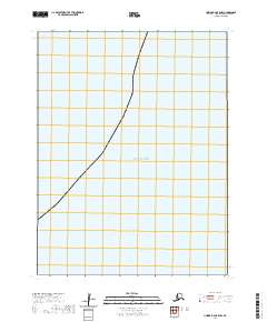
2020 · Unimak B-2 OE E NW
USGS Topo · 1:25,000
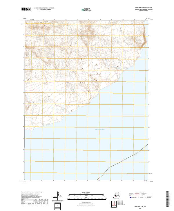
2021 · Unimak B-2 NE
USGS Topo · 1:25,000
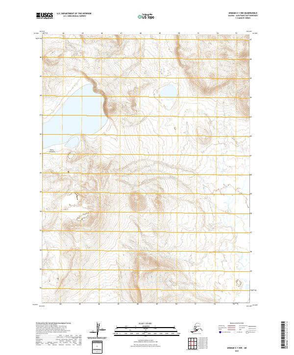
2021 · Unimak C-1 NW
USGS Topo · 1:25,000
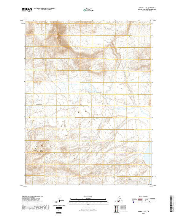
2021 · Unimak C-2 SE
USGS Topo · 1:25,000