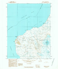
1989 Map of Unimak C-3
USGS Topo · Published 1989About this map
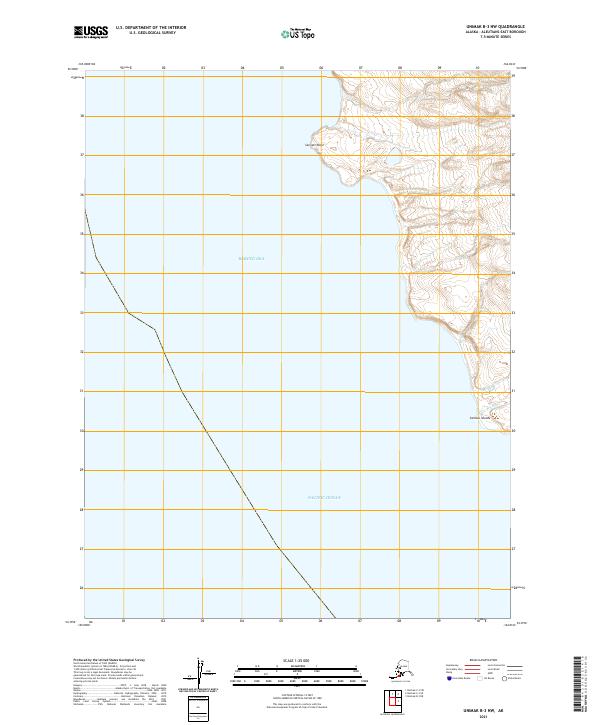
Pogromni Volcano dominates this northern stretch of Unimak Island, its slopes descending toward the cold waters of the Bering Sea. The landscape is a remote expanse of the Aleutian Islands Wilderness, where narrow 4wd tracks and a lonely Landing Strip provide the only terrestrial links to the outside world. This 1989 provisional record documents the rugged coastal geography of the Aleutians East Borough, specifically the hazardous maritime passage at Unimak Pass.
Find a feature on this map
21 named features on this map. Tap any name to fly to it.
Don’t see what you’re looking for? This feature index may not catch every label — zoom into the map to look around manually.
Map Details
Editions of this 1989 Unimak C-3 Map
This is the sole edition of this map. No revisions or reprints were ever made.
Other maps of this area

1951 · Unimak
USGS Topo · 1:250,000

1958 · Unimak
USGS Topo · 1:250,000
1989 · Unimak D-2
USGS Topo · 1:63,360
1989 · Unimak B-3
USGS Topo · 1:63,360
1989 · Unimak B-2
USGS Topo · 1:63,360
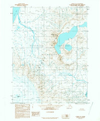
1989 · Unimak C-2
USGS Topo · 1:63,360
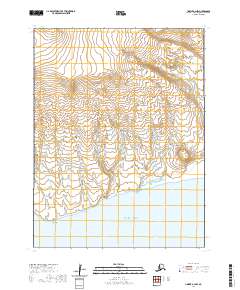
2020 · Unimak B-2 NW
USGS Topo · 1:25,000
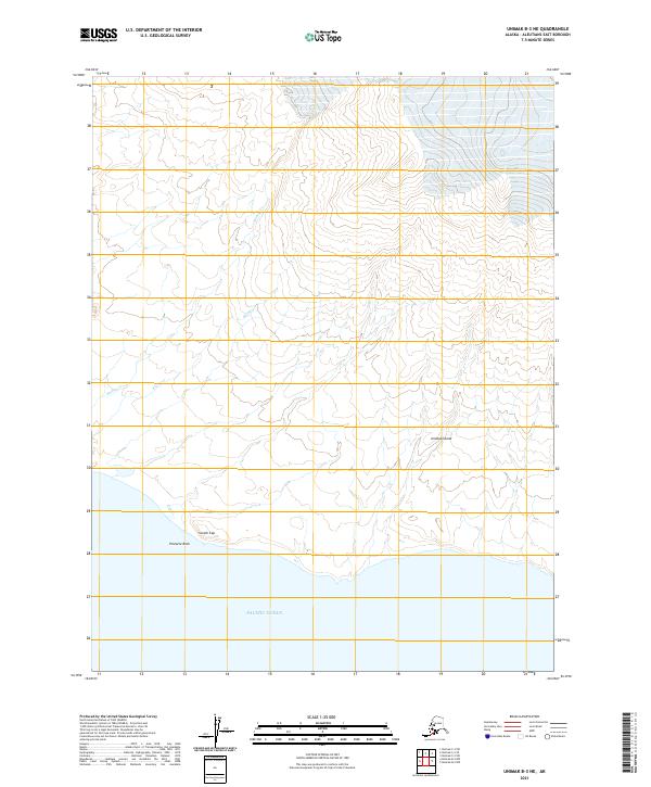
2021 · Unimak B-3 NE
USGS Topo · 1:25,000
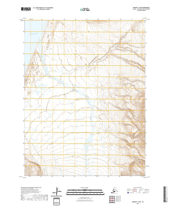
2021 · Unimak C-2 NW
USGS Topo · 1:25,000
2021 · Unimak B-3 NW
USGS Topo · 1:25,000