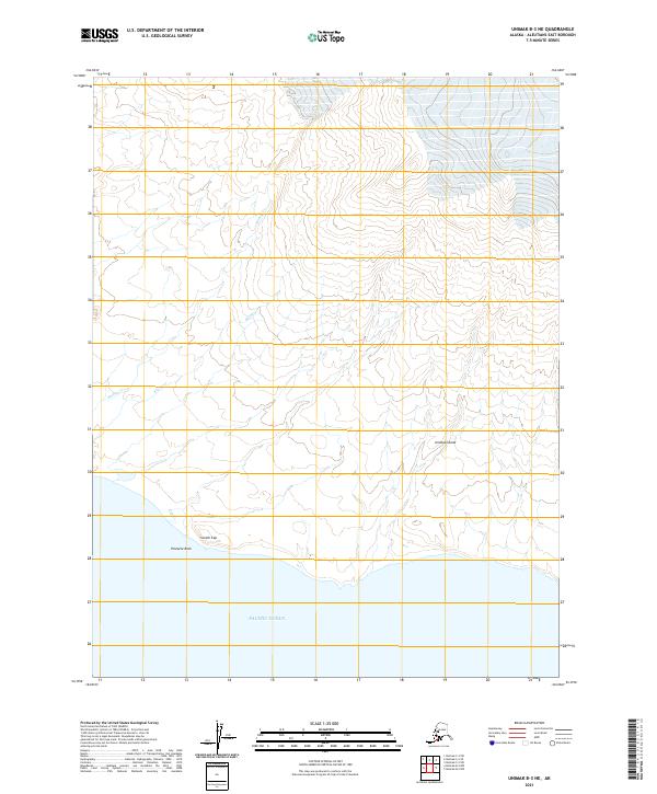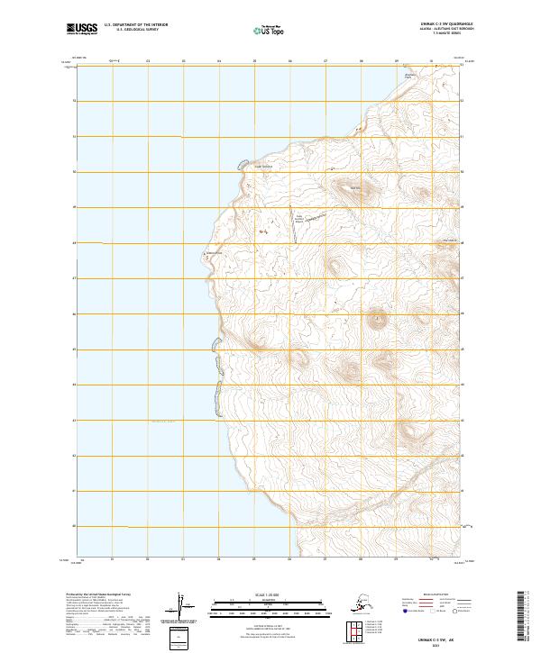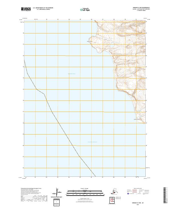
2021 Map of Unimak B-3 NW
USGS Topo · Published 2021About this map
Sennett Point marks a sharp transition between the Bering Sea to the north and the Pacific Ocean to the south in this maritime landscape. The coastal geography is defined by small, intricate waterways including Mishop Cr and the Big River, which drain into the sea near the Caribou Islands. This area is characterized by its high-latitude coastal features and significant topographic relief, with elevation contours rising steeply from the shoreline into the interior. The map illustrates the convergence of major oceanic bodies, providing a detailed record of the shoreline and drainage patterns as they existed in the early 2020s.
Find a feature on this map
12 named features on this map. Tap any name to fly to it.
Don’t see what you’re looking for? This feature index may not catch every label — zoom into the map to look around manually.
Map Details
Editions of this 2021 Unimak B-3 NW Map
This is the sole edition of this map. No revisions or reprints were ever made.