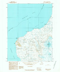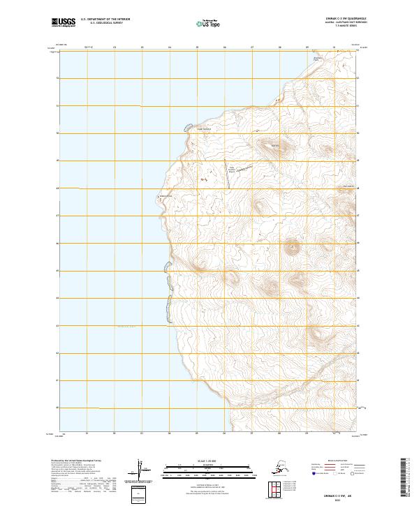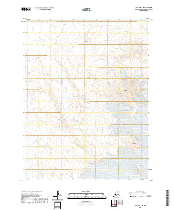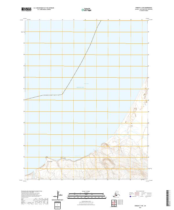
2021 Map of Unimak C-3 NW
USGS Topo · Published 2021About this map
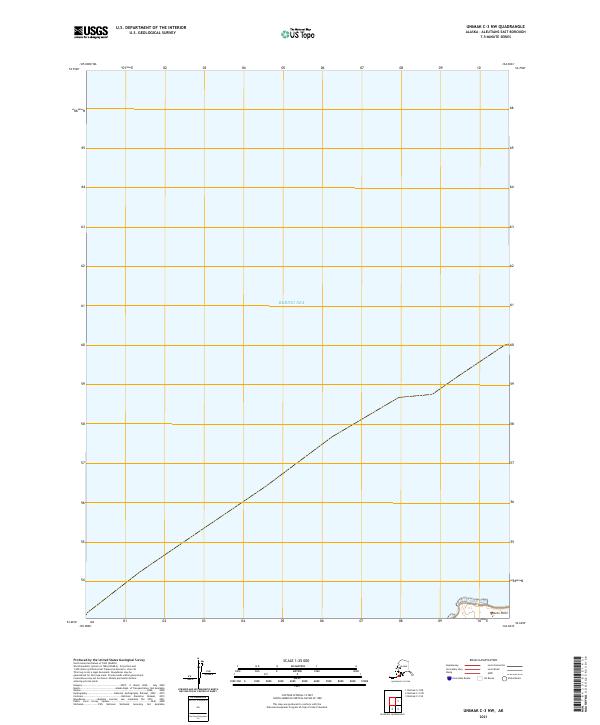
The Bering Sea dominates this coastal survey, where the maritime expanse meets the rugged shoreline of the Aleutians East Borough. The landscape is defined by its isolation and the surveyor's grid, with topographic contours revealing the steep transition from the interior heights down to the water's edge. A singular landmark, Raven Point, anchors the southeastern corner of the map, providing a fixed reference for the coastal geography in this sparsely named region of Alaska. The Public Land Survey System lines for t63s r104w and t64s r104w provide the primary framework for understanding the land divisions in this maritime environment.
Find a feature on this map
4 named features on this map. Tap any name to fly to it.
Don’t see what you’re looking for? This feature index may not catch every label — zoom into the map to look around manually.
Map Details
Editions of this 2021 Unimak C-3 NW Map
This is the sole edition of this map. No revisions or reprints were ever made.