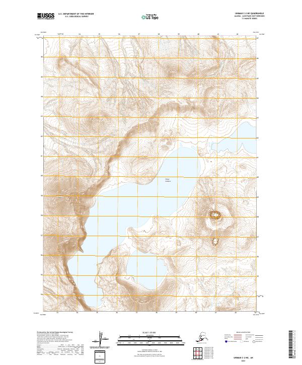
2021 Map of Unimak C-2 NE
USGS Topo · Published 2021About this map
The Fisher Caldera dominates this high-latitude volcanic landscape in the Aleutians East Borough. This massive geographic feature, spanning several sections of the public land survey system including t63s r101w and t64s r101w, contains substantial interior water bodies and is bordered by dramatic elevation changes. To the west, Eickelberg Peak rises as a prominent landmark overlooking the caldera’s floor. The topography is further defined by the drainage of Winding Cr in the northeastern portion of the sheet. The survey illustrates a stark, uninhabited environment where the primary points of interest are the radical shifts in contour and the expansive volcanic depression that gives the area its name.
Find a feature on this map
7 named features on this map. Tap any name to fly to it.
Don’t see what you’re looking for? This feature index may not catch every label — zoom into the map to look around manually.
Map Details
Editions of this 2021 Unimak C-2 NE Map
This is the sole edition of this map. No revisions or reprints were ever made.
Other maps of this area

1951 · Unimak
USGS Topo · 1:250,000

1958 · Unimak
USGS Topo · 1:250,000

1989 · Unimak C-1
USGS Topo · 1:63,360
1989 · Unimak D-2
USGS Topo · 1:63,360
1989 · Unimak D-1
USGS Topo · 1:63,360
1989 · Unimak C-2
USGS Topo · 1:63,360
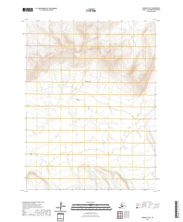
2021 · Unimak D-2 SE
USGS Topo · 1:25,000
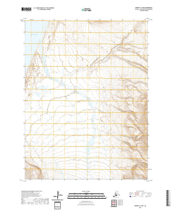
2021 · Unimak C-2 NW
USGS Topo · 1:25,000
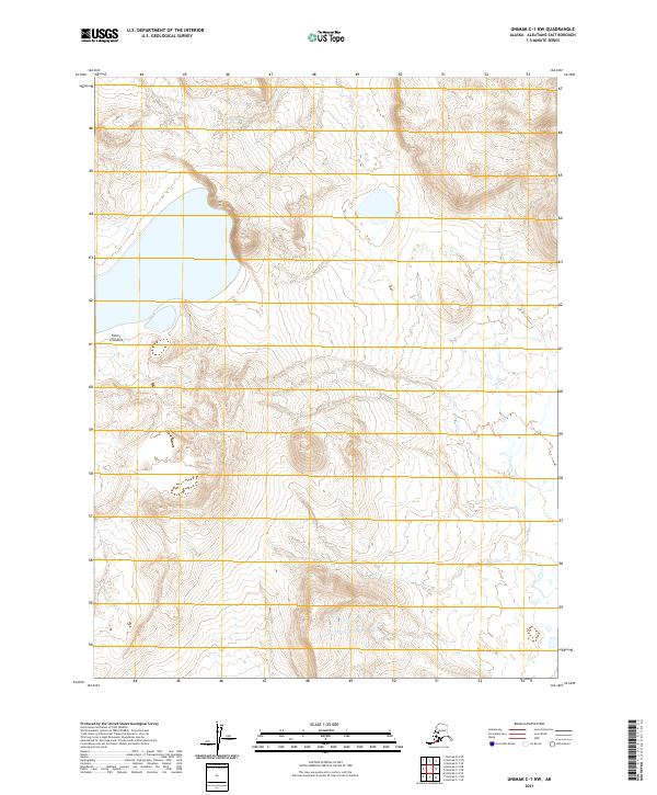
2021 · Unimak C-1 NW
USGS Topo · 1:25,000
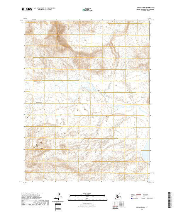
2021 · Unimak C-2 SE
USGS Topo · 1:25,000