2022 Map of Union
USGS Topo · Published 2022About this map
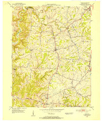
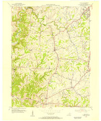
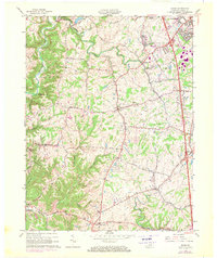
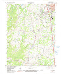
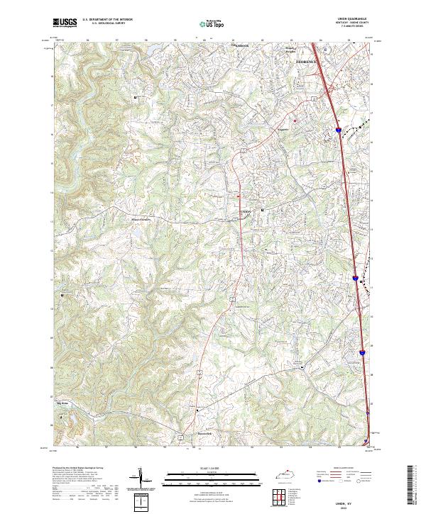
Gunpowder Creek and its southern fork carve through the rolling hills of Boone County, framing a landscape where suburban expansion meets long-standing rural crossroads. The northern reaches show the rapid growth of Florence and Oakbrook, characterized by dense residential networks and institutions like American National University. Moving south toward Union, the terrain retains more of its agricultural character, punctuated by distinctive local placenames such as Sugartit and Hueys Corners.
Find a feature on this map
40 named features on this map. Tap any name to fly to it.
Don’t see what you’re looking for? This feature index may not catch every label — zoom into the map to look around manually.
Map Details
Editions of this 2022 Union Map
This is the sole edition of this map. No revisions or reprints were ever made.
Historical Maps of Hueys Corners Through Time
5 maps found