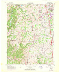
1961 Map of Union
USGS Topo · Published 1970About this map
Gunpowder Creek and its tributaries carve a winding path through this Boone County landscape, which by the 1960s was balancing its rural character with growing infrastructure. The map documents significant developments around Florence, including the presence of the Kentucky Railway Museum and a complex highway network. To the south, the terrain descends toward Big Bone Lick State Park near the community of Big Bone, an area with deep paleontological and geological significance. Local social structures are clearly visible through the placement of rural landmarks like New Haven Sch and the uniquely named settlement of Sugartit. Transportation and leisure are represented by the Southern railroad line and various recreational sites including Camp Ernst and Camp Powderhorn. The interplay of old family road names like Beaman Lane and Chambers Lane alongside newer suburban expansions provides a record of Northern Kentucky's mid-century transition.
Find a feature on this map
42 named features on this map. Tap any name to fly to it.
Don’t see what you’re looking for? This feature index may not catch every label — zoom into the map to look around manually.
Map Details
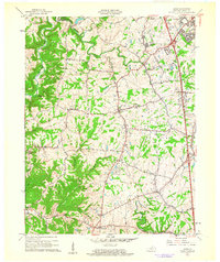
Editions of this 1961 Union Map
2 editions found
Other maps of this area

1914 · West Cincinnati
USGS Topo · 1:62,500

1915 · Lawrenceburg
USGS Topo · 1:48,000

1928 · Lawrenceburg
USGS Topo · 1:62,500

1932 · Lawrenceburg
USGS Topo · 1:62,500

1943 · Rising Sun
USGS Topo · 1:24,000

1943 · Lawrenceburg
USGS Topo · 1:24,000

1943 · Patriot
USGS Topo · 1:24,000

1950 · Union
USGS Topo · 1:24,000

1950 · Independence
USGS Topo · 1:24,000

1950 · Verona
USGS Topo · 1:24,000